
Selected Recent Maps and Atlases
- Publication
- The Professional Geographer
- Volume
- 3
- Issue
- 4
- Pages
- 13–19
Tanganyika · Version 1
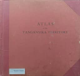
1942–1948Goodman’s notice describes the 1948 second edition of Atlas of the Tanganyika Territory, comprising 27 large map plates, partly in color, and colored diagrams. Six plates are entirely new; the others revise plates from the 1942 edition. Text and tables appear on the backs of some maps, with sections covering physical geography, biography, human geography, industry and commerce, statistics, history, and a gazetteer. Goodman reports that the compilers sought a format presenting historical, physiographical, economic, and climatic factors simply.
View whole-article summary
This article reviews recent maps and atlases acquired by the Library of Congress, covering both the United States and foreign regions. The U.S. section includes maps of Alaska, the Eastern states, a literary map of North Carolina, land use, labor migration, meteorological services, forest resources, natural gas pipelines, soil conservation, state geological survey maps, and river basin reports. The foreign section covers Asia, Indochina, Ceylon, South America, Venezuela, Germany, and the USSR. The atlas section introduces works by Bartholomew, the Congo, Denmark, Islamic history, Spanish missions, Larousse International, Tanganyika, Germany, Spanish America, and Canada. The article aims to provide reference information on the latest cartographic resources for geographers, cartographers, and researchers, detailing specifications, publication data, content features, and applications, reflecting mid-20th-century cartographic advancements and the diverse presentation of geographic information.
Related Atlases
Comments
Loading...
0/2000