
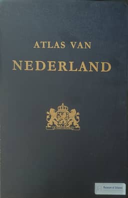
Book reviews: Atlas of the Netherlands
Rezensionen: Atlas van Nederland
- Publication
- Petermanns geographische Mitteilungen
- Volume
- 121
- Issue
- 1
- Pages
- 79
Netherlands · Version 1
1981W. Stans reviews seven sheets of Atlas van Nederland issued in 1971–1972, with explanations on their reverse sides. The geology sheet covers the wider region from London to Schwerin and Paris to Flensburg, classifying the seabed by material rather than age. Stans praises the urban catchment sheet as a noteworthy synthesis, using colors, interlocking areas and patterned boundary bands to distinguish centers and their catchments. Land consolidation is illustrated on topographic bases at 1:60,000 and 1:15,000, with reverse-side maps recording progress in 1960, 1966 and 1970. Two industrial sheets depict municipal industrialization and twelve industrial branches; Stans finds the small 1:2 million maps more attractive than the coarse 1:600,000 map. The transport sheet covers roads, waterways, railways, oil pipelines and air corridors, alongside the 1972–1976 trunk-road expansion program and road-distance centrality. The “Structural Scheme for the Year 2000” combines 1960 land use with projected agglomeration populations and patterns for planned recreation zones and industrial areas.
Comments
Loading...
0/2000