
Reviews: The Atlas of Britain and Northern Ireland
- Publication
- Cartography
- Volume
- 5
- Issue
- 1/2
- Pages
- 41-43
United Kingdom
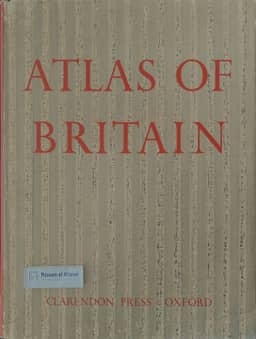
1963G.C.I. reviews The Atlas of Britain and Northern Ireland (Oxford University Press, 1963), praising its extensive coverage and cartographic production. Its 200 map pages cover physical geography, agriculture, industry, population and communications, chiefly at 1:2 million, with regional maps mostly at 1:1 million and topographic maps at 1:500,000. The review describes twelve years of compilation directed by D. P. Bickmore with M. A. Shaw, involving Oxford and Cambridge editors, specialist contributors and government bodies; the editors report that much information appears here for the first time. Based on Ordnance Survey mapping, the maps use the Transverse Mercator projection, selective grid display, layered relief and land-use representation, and varied statistical symbols. The reviewer commends their colour, linework and lettering but cannot establish accuracy or completeness from a brief examination. A substantial discussion considers how readers can extract both general patterns and detailed information, acknowledging the effort required to learn unfamiliar map representations and the continuing usefulness of tables and text. In Australia, the reviewer expects chiefly scholarly and student use and recommends the atlas for reference, university, learned-society and cartographic libraries, with possible secondary-school provision. The review closes by calling for research into map use, particularly resources maps.
Comments
Loading...
0/2000