
Reviews: Atlas of Sierra Leone
- Publication
- The Geographical Journal
- Volume
- 119
- Issue
- 4
- Pages
- 485-486
Sierra Leone · Version 1
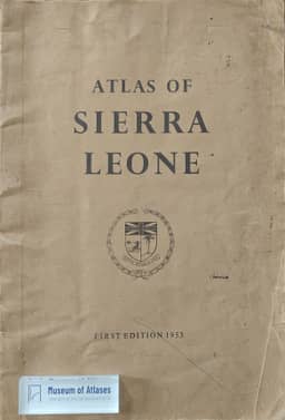
1953–1966H. R. J. reviews the Atlas of Sierra Leone, published by the Survey and Lands Department, Freetown, in 1953, welcoming its first collection of authoritative maps of the Colony and Protectorate with useful general information. The reviewer praises the physical, soil, political, population-density, geological and mineral maps, but criticizes the crowded agricultural-products map, crude township maps except Bonthe, and oversimplified vegetation and tribal maps. The climatic graphs are useful, whereas the rainfall map was already outdated when published. The reviewer questions the atlas’s intended audience: its introductory maps are inadequate for schools, some technical material is unsuitable for pupils, and several maps fall short of an authoritative compilation. Errors include depicting the upper Niger as a motorable road and misplacing Kaolack. Despite these shortcomings, the reviewer considers the atlas indispensable for serious study of Sierra Leone’s geography and hopes for a revised, possibly cheaper edition.
Comments
Loading...
0/2000