
Reviews: Atlas of Israel
- Publication
- Cartographica
- Volume
- 28
- Issue
- 1
- Pages
- 104-107
Israel · Version 2
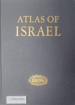
1985The review examines the 1985 third edition of Atlas of Israel, a large-format volume containing forty double-page plates with bilingual Hebrew–English titles and legends and signed English explanatory essays. It surveys coverage of the physical environment, settlements, population, social conditions, economic activity, agriculture, and transport. The reviewer praises the overall design, colour, symbolization, and legibility of crowded maps, particularly the small bar graphs embedded in maps. Reservations concern inconspicuous scale references, outdated agricultural data, traffic legends that imply more precision than the maps support, and clustered symbols that obscure spatial patterns. In comparison with the second edition, the reviewer regards this edition as a complement: it extends thematic coverage and emphasizes labour intensity and productivity, while leaving substantial historical and relatively stable physical-geographical material in its predecessor.
View whole-article summary
This review evaluates the third edition of the Atlas of Israel (1985), focusing on its thematic scope, cartographic design, informational authority, and relationship to the second edition of 1970. The assessment surveys the atlas’s forty double-page plates and accompanying signed essays, considering its treatment of the physical environment, settlements, population, social and cultural conditions, economic activity, agriculture, transportation, and environmental quality. Particular attention is given to map scales, bilingual Hebrew–English presentation, relief bases, colour schemes, statistical graphics, and thematic symbols, as well as to the cooperation among government agencies and universities that underpins the volume. The reviewer finds the atlas cartographically impressive: its integrated design, confident use of colour, screened-relief backgrounds, choropleth sequences, graduated symbols, and especially small bar graphs generally make dense information intelligible. Minor weaknesses include inconspicuous scale references, insufficient justification for class intervals, the misleading clustering of point symbols, limited spatial differentiation in several themes, and the use of dated agricultural data. Comparison with the more extensive second edition shows that the new volume is not a comprehensive replacement but a complementary work. It omits or reduces earlier coverage of historical geography, wars, vegetation, soils, species, crops, and individual industries while expanding the mapping of contemporary social and economic distributions, labour intensity, and productivity. Overall, the third edition is judged a tour de force of national-atlas production: authoritative, visually sophisticated, and accessible. Its quality demonstrates the continuing scholarly and symbolic value of the traditional printed national atlas despite the emergence of electronic mapping systems.
Related Atlases
Comments
Loading...
0/2000