
Reviews: Atlas del Perú
- Publication
- Cartographica
- Volume
- 31
- Issue
- 3
- Pages
- 66-67
Peru · Version 3
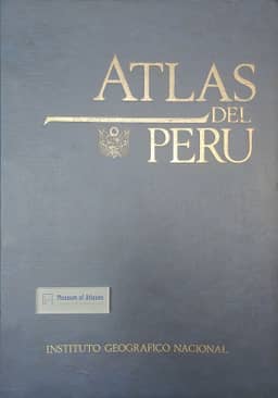
2000Alfonso Gonzalez (University of Calgary) reviews the Atlas del Perú, directed and edited by Carlos Peñaherrera del Aguila and sponsored by Peru's Ministry of Defense and the Instituto Geográfico Nacional; the copy under review is dated Lima 1989 and was distributed in the United States by Bill Stewart—Cartographic Imports at U.S. $550. Gonzalez treats it as an encyclopedic national atlas that updates and replaces the same editor's Atlas Histórico Geográfico y de Paisajes Peruanos of 1963–70, and calls it a definite improvement on that work. The sequence runs from locational maps, astronomy, the Earth and projections through historical maps, topographic sheets, political and urban maps, physical landscape, and economic and population themes to regional and departmental maps, with the twenty-four departments and the constitutional province of Callao followed by about a hundred pages of text, tables and a detailed place-name index. Besides standard themes such as geology, hydrography, climate, soils, vegetation and population, the reviewer singles out maps of old maps and engravings, natural regions, poverty measured by income, illiteracy, potable water and infant mortality, pathology and health, desertification and reforestation, and Peru's Antarctic activities from its base in the South Shetland Islands. His main criticism is organizational: satellite imagery sits among the credits and prologue before the table of contents (pp. 7–16), photographs of Saturn and the Moon fall between tectonic plates and the atmosphere (p. 38), climatic material between geology/earthquakes and morphology/structure (pp. 118–121), and volcanoes and thermal springs between minerals and petroleum (pp. 150–151); urban, migration and spontaneous-settlement material and the illiteracy and educational-attainment material are likewise split apart. He also judges that the long thematic text of pp. 285–383 would serve better beside the corresponding maps of pp. 24–283. Despite these flaws he calls the atlas a significant contribution to understanding Peru.
View whole-article summary
The Atlas del Perú, edited by Dr. Carlos Peñaherrera del Aguila and sponsored by the Ministry of Defense and the Instituto Geográfico Nacional, is a comprehensive encyclopedic national atlas that updates and replaces the earlier 1963–70 edition. It covers a broad range of themes, including history, physical geography, economy, population, urban development, health, desertification, and Peruvian activities in Antarctica, supported by numerous maps, photographs, satellite images, tables, and extensive text, along with a place-name index. Despite its rich content and impressive detail, the atlas suffers from organizational flaws, such as scattered related materials and occasional misplaced sections. Overall, it constitutes a significant and valuable reference for understanding Peru, offering both academic and practical utility.
Related Atlases
Comments
Loading...
0/2000