
Review of Atlas of Turkey
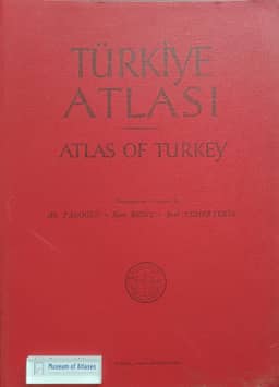
Review of Türkiye Atlasi / Atlas of Turkey
- Publication
- Erdkunde
- Volume
- 16
- Issue
- 4
- Pages
- 325-326
Türkiye · Version 1
1961Wolf Hütteroth reviews Türkiye Atlası / Atlas of Turkey, published by Istanbul University in 1961, and regards it as Turkey’s first national atlas, subject to the editors’ qualifications. Its 87 colour maps with Turkish and English legends assemble geographical material otherwise difficult to access. Almost all reuse previously published designs, mostly by the editors, producing some unevenness in organization and coverage while allowing readers to consult fuller explanations in earlier publications. Hütteroth criticizes the dominance of climate mapping—43 maps, compared with two on vegetation—and the use of large provincial units for population and agricultural statistics. He praises Tanoglu’s dot-and-circle population map but notes its reliance on the 1935 census. He welcomes the land-use map’s attempt to depict cultivated land accurately, while questioning its low estimate for Inner Anatolia. Publication had been planned for about 1954; the delay left statistical data ending in 1952–1953 and city-size symbols outdated. For the proposed second edition, he recommends updated data, newer thematic maps, and large-scale examples of characteristic landscapes. Given Turkey’s short history of systematic surveys, Hütteroth judges the atlas a valuable aid to scholarly work.
Related Atlases
Comments
Loading...
0/2000