
Report on the thematic map series and atlases in Japan
- Publication
- Fifth United Nations Regional Cartographic Conference for Asia and the Far East. Volume 2: Proceedings of the Conference and Technical Papers
- Pages
- 425–426
Japan
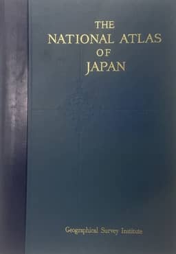
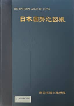
1977The report describes early planning for a standard national atlas of Japan. It states that the Japanese Cartographers’ Association established an atlas working group in February 1966, with research on this atlas as its main project, and discussed its character, style and subjects at a panel on 3 September 1966. The report calls for a national atlas organization comprising a supervisory committee responsible for the overall plan, subjects and policy, and a working group responsible for source collection, research, maps, explanatory notes and statistical data. These are proposed arrangements; the report does not describe the completed 1977 atlas.
View whole-article summary
This report surveys thematic map series and atlas compilation in Japan, including the Geographical Survey Institute’s 1:800,000 Geographical Map Series (1946–1950) and the economic atlas of Japan published in 1954. Government agencies produced thematic maps covering geology, landforms, land use, population, transport, disaster prevention, and other subjects, chiefly for development and conservation planning. Their coverage often concentrates on priority areas, but they provide source material for national and regional atlases. The report describes the Atlas for National Land Development and Educational Atlas for Japan, both under preparation, and map series suitable as atlas base maps. Established in 1966, the Japanese Cartographers’ Association’s atlas working group adopted research on a standard national atlas as its principal project. The report advocates promptly establishing a national atlas organization comprising a supervisory committee responsible for overall planning and policy, and a working group responsible for collecting sources, conducting basic research, and preparing maps, explanatory notes, and statistical material.
Related Atlases
Comments
Loading...
0/2000