
Reviews: Atlas of Cuba; Census Atlas of El Salvador
Recenzje: Atlas de Cuba; Atlas Censal de el Salvador
- Publication
- Przegląd Geograficzny
- Volume
- 30
- Issue
- 1
- Pages
- 173-174
Cuba · Version 1
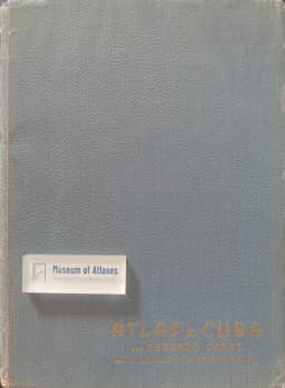
1949The review describes the 1949 Atlas de Cuba, prepared by Cuban geographer G. Canat with American cartographer E. Raisz, as a 64-page atlas with maps, diagrams and illustrations, explanatory text in Spanish and English, an analytical index and a bibliography. It covers Cuba's discovery, colonial and post-independence history, physical topics such as climate, geology, soils, forests and fisheries, and population and economic themes, and includes a separate landscape map at 1:1,333,000 drawn by Raisz's method. The reviewer calls the editing ingenious and the atlas useful for schools and tourists, while noting that some maps lack scales.
View whole-article summary
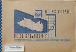
This article reviews two Latin American atlases and a bibliography of physical limnology. The Atlas of Cuba (1949), produced by Cuban geographer G. Canet with American cartographer E. Raisz, contains thematic maps on physical geography, population, and economy, employing diverse cartographic methods with bilingual Spanish-English explanations, serving educational and touristic purposes. The Census Atlas of El Salvador (1955), published by the Ministry of Economy, comprises three parts covering Central America, the country's physical and human geography, and departmental monographs, with data largely from the 1950 census, standing as a landmark in Salvadoran cartographic publishing. Additionally, the Bibliography of Physical Limnology 1781–1954 (Ohio, 1955) lists about 1,600 entries alphabetically by author with subject and lake indexes, featuring strong coverage of North American Great Lakes and governmental research, offering notable utility for European scholars.
Related Atlases
Comments
Loading...
0/2000