
Progress on Australia's national atlas
- Publication
- Abstracts of Papers: 20th International Geographical Congress
- Pages
- 44-45
Australia · Version 1
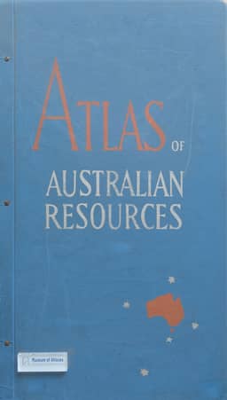
1960–1977T. W. Plumb reports on Australia's national atlas in 1960–64. The first series of the Atlas of Australian Resources was completed in 1960; work on the Second Series began in 1961, with plans to replace the original thirty map-sheets progressively through revisions and some new topics. Individual-sheet and atlas-wide revision were coordinated to maintain a concise, balanced reference work. The Second Series retains the format, general style, basic scale of 1:6,000,000, continent-wide thematic coverage, and a specially written booklet for each sheet. Three sheets already prepared illustrate changes: a projection Plumb considers more suitable, a revised base map, layouts accommodating larger-scale coverage in selected areas, supplementary maps and references on some sheet reverses, additional data, and refinements to representation, drawing and reproduction. Plumb also notes work begun on regional atlases of Tasmania (fourth edition), New South Wales (first edition), and the Fitzroy Region of central Queensland, the last comprising a new series of special maps. The state governments prepare the first two; the Federal Department of National Development prepares the Fitzroy maps and the national atlas.
Related Atlases
Comments
Loading...
0/2000