
Progress on Australia's National Atlas, 1960–64
- Publication
- Cartography
- Volume
- 5
- Issue
- 3-4
- Pages
- 73-74
Australia · Version 1
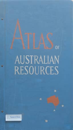
1960–1977Editor T. W. Plumb reports on the Atlas of Australian Resources, Second Series, begun in 1961 to progressively revise the thirty-sheet first series compiled by the Department of National Development from 1951 and completed in 1960. The loose-leaf revision programme combines updated sheets, new topics and withdrawals while retaining thirty sheets; the planned replacement rate of three sheets annually had not yet been fully achieved. The second series retains whole-continent coverage and a basic scale of 1:6,000,000, introduces an equidistant conic projection, and revises base maps using recent topographic maps and census data. For selected themes, two sectional maps at 1:4,500,000 accompany a continental map at 1:12,000,000. Sheet reverses provide source and reliability information or larger-scale detail. Specialist commentaries are being prepared for each sheet, with atlas geographers assisting interpretation and the editor coordinating contributions. Published examples include Electricity (1962), Soils (1963), and Population Distribution and Growth (1964). Additional soil surveys increased soil mapping units from 18 to 32. The population sheet uses rural dots, proportional squares for urban populations, and classified intercensal growth rates; rural dots were initially plotted at 1:1,000,000 using census and topographic material. In September 1964, revised Mineral Deposits and Geology sheets and the new Fish and Fisheries sheet were in preparation. Plumb concludes that a practicable programme of progressive revision was operating.
Related Atlases
Comments
Loading...
0/2000