
Preparation of The National Atlas of Japan, revised edition
- Publication
- Twelfth United Nations Regional Cartographic Conference for Asia and the Pacific. Volume 2: Technical Papers
- Pages
- 216–218
Japan
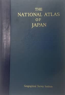
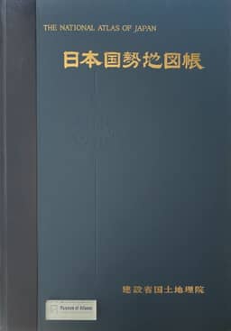
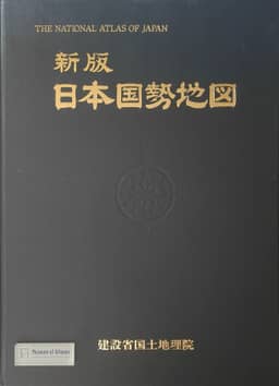
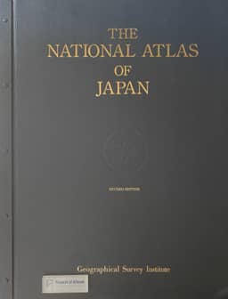
1990–1997This Japanese institutional account describes the five-year revision programme begun in 1986 and completed with publication of the revised National Atlas of Japan in November 1990, in Japanese and English. The edition contains 235 thematic maps with explanatory text across 14 subjects, in 218 A2-sized pages. The account traces committee oversight, data collection and analysis, editorial rules, cartography and printing, with particular attention to the Computer-aided Cartographic Processing System (CCPS). It explains the digitization of base maps and the production of choropleth, circle-graph and distribution maps. According to the account, CCPS was used for 60 per cent of the thematic maps, including manual operations, and simplified production while reducing time and costs. Some physical and climatic maps continued to use traditional techniques. The authors identify fuller automation as an unresolved task and outline plans for faster updates of selected thematic maps and electronic delivery of editable map data.
View whole-article summary
This report describes the organization, editorial policies, and cartographic workflows of the Geographical Survey Institute of Japan’s 1986–1990 project to revise The National Atlas of Japan. Published in November 1990 in Japanese and English versions, the revised edition comprises 218 pages containing 235 thematic maps and explanatory texts across 14 subjects. Committee oversight supported data collection and analysis, the establishment of classification and presentation rules, cartographic production, proofing, and binding. Approximately 60% of the thematic maps were compiled using the Computer-aided Cartographic Processing System (CCPS), with manual work incorporated, chiefly for choropleth, circle-graph, and distribution maps. The report details base-map scanning and vectorization, statistical data matching, interactive editing, file management, and output procedures. It reports simpler workflows, shorter production times, and lower costs than traditional manual techniques. Outstanding issues include computer processing of complex thematic maps and fully automated compilation. Future plans address timely updating of high-demand thematic maps, an electronic atlas, and online integration of data held by government agencies.
Related Atlases
Comments
Loading...
0/2000