
Preparation of national and regional atlases in India
- Publication
- Abstracts of Papers: 20th International Geographical Congress
- Pages
- 39
India
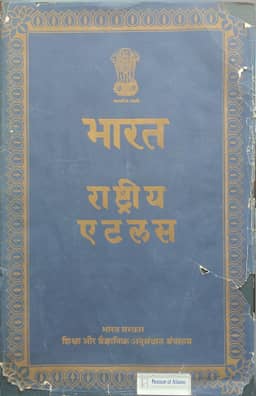
1968–2009In this account of atlas preparation in 1960–64, S. P. Chatterjee reports that some 175 National Atlas Organization staff were collecting and processing data and preparing maps for the English main edition of the National Atlas of India. Sixteen maps in the population, physical, administrative and transport series had been printed; 55 were at various stages in the press and 75 were being compiled. The planned 300 maps were being designed largely according to recommendations of the IGU Commission on National Atlases. Wherever possible, detailed village data were first plotted on one-inch maps and then reduced to smaller scales for printing.
View whole-article summary
This paper reviews the progress in the preparation of national and regional atlases in India from 1960 to 1964. The National Atlas Organization and the Office of the Registrar General of India were respectively responsible for national and regional atlases, with two research institutes also engaged in regional economic atlas projects. Since the preliminary Hindi edition of the National Atlas in 1957, a staff of about 175 has been compiling data for the main English edition, completing 16 maps, with 55 in press and 75 under compilation. Map design followed the recommendations of the IGU Commission on National Atlases, incorporating village-level data. Among regional census atlases, those for Orissa, Bihar, and Rajasthan were most advanced, while work on other states progressed steadily, with close cooperation between national and regional bodies.
Related Atlases
Comments
Loading...
0/2000