
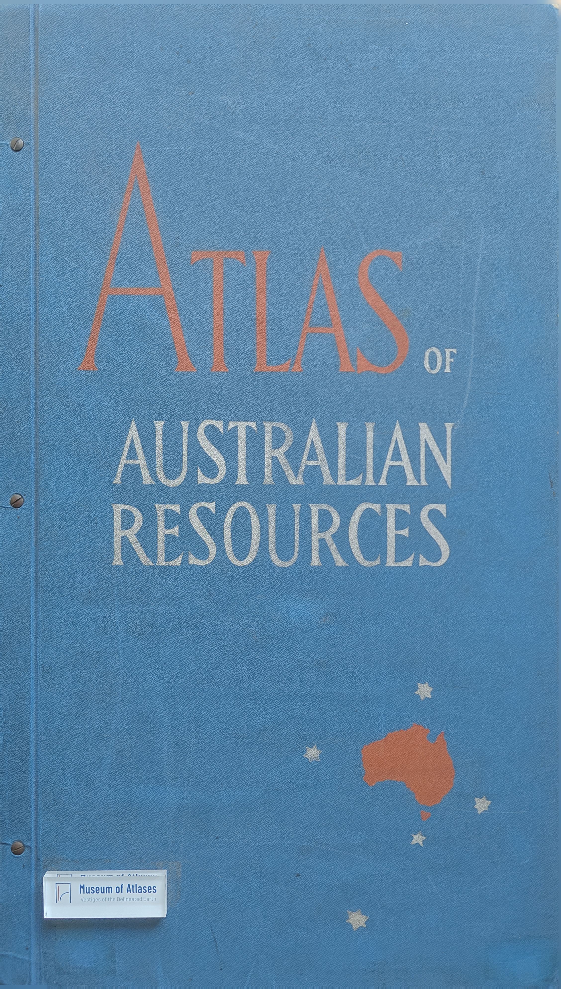
New Publications: Atlas of Australian Resources
- Publication
- The Canadian Geographer
- Issue
- 13
- Pages
- 51-52
Australia · Version 1
1960–1990G. Fremlin reviews five recent sheets of the Department of National Development's Atlas of Australian Resources: educational facilities, health services, dominant land use, population increase and decrease in 1947–54, and ports and shipping. At the time, 25 sheets had appeared out of 42 listed in a preliminary index. Most use a polyconic base at 1:6,000,000. Fremlin praises the cartography, printing and compilers' originality, together with the accompanying pamphlets of about twenty pages, their comprehensive explanations, acknowledgements and references. The educational commentary includes detailed city maps, while the land-use commentary supplies information needed to interpret its sheet. The review examines coloured symbols, insets and offsets for institutions, colour and pattern combinations for land use, separate urban and rural representations of absolute population change, and grouped symbols for port facilities and traffic. Fremlin identifies congestion on the education sheet, unexplained selections of names on the land-use map, and possible misreading of the population-change legend. He praises the ports sheet's comprehensive coverage and cartographic economy, while suggesting that its method might work less well on a more irregular coast with larger, closely spaced ports.
Related Atlases
Comments
Loading...
0/2000