
National atlases in the Nordic countries
Nationalatlanten in den Nordischen Ländern
- Publication
- Kartographische Nachrichten
- Volume
- 46
- Issue
- 1
- Pages
- 1-4
Norway · Version 2
1998In this 1995 account, Helmfried describes the Norwegian national atlas project taken over by Statens Kartverk in 1979. Publication of thematic maps with explanatory booklets began in 1983; the atlas was organized into 21 thematic groups, with geographers serving on an advisory board, but funding constraints prevented a fixed publication schedule. He reports that the original arrangement of separate maps and booklets in folders proved impractical, including for marketing, prompting a change of format following the Swedish example. The first volume in the new format was still in preparation. Maps were being produced using modern, especially digital, techniques at scales from 1:1 million to 1:25 million. Helmfried identifies Norway's extensive maritime and island landscapes and the country's shape as particular cartographic challenges.
View whole-article summary
This article reviews the historical development, institutional organization, production models, and cartographic concepts of national atlases in the Nordic countries, with particular attention to Finland and Sweden. Finland’s 1899 atlas is widely regarded as the first national atlas in the modern sense. Conceived partly to present a nation striving for independence under Russian rule, it was followed by four editions that documented Finland’s rapid transformation. The fifth edition, completed in 1993 after fifteen years of work, retained the traditional scholarly atlas model while expanding social and cultural coverage, employing diverse cartographic forms, and providing parallel texts in three languages. Elsewhere, Iceland had not yet realized its atlas plans, largely because of its small population and limited market. Norway developed a state-led series of thematic maps and explanatory volumes, but financial constraints prevented a fixed publication schedule and prompted a shift toward a more practical book format. Denmark adopted a flexible, society-led model in which independent thematic studies were gradually incorporated into an overarching national-atlas program without regular state funding. The main case study is the new Swedish National Atlas (SNA), approved by parliament in 1987 as a ten-year project involving the Swedish Society for Anthropology and Geography, the national mapping authority, and Statistics Sweden. Its seventeen autonomous thematic volumes were designed for schools, adult education, public authorities, and a general readership. Production was fully digital and relied where possible on public databases. Each volume combined maps, explanatory text, photographs, diagrams, and tables and appeared in separate Swedish and English editions. The atlas sought a geographically balanced, explanatory, and problem-oriented representation of Sweden rather than allowing available data or conventional cartographic practices to determine content. Accordingly, agriculture and geology received less emphasis than in earlier atlases, while services, cultural life, heritage, environmental issues, international integration, population processes, and the history of Swedish cartography received greater attention. The project demonstrated both the opportunities and limitations of computer-assisted thematic cartography. Digital production was not initially cheaper, and complex spatial processes remained difficult to represent; moreover, effective production required personnel trained in both geography and cartography. Nevertheless, standardized workflows, decentralized institutional participation, regular publication, accessible design, and professional marketing produced an exceptional public response. Individual Swedish volumes sold between approximately 15,000 and 20,000 copies, while the introductory mapping volume reached about 80,000 copies. A PC version, conceived as an affordable GIS for schools and the public, further broadened access to spatial analysis. The Nordic experience shows that national atlases function not merely as cartographic inventories but as instruments of national representation, geographic education, public information, and technological innovation. Their sustainability depends on balancing scholarly quality, institutional cooperation, financing, usability, and market appeal.
Related Atlases
Atlas of Finland, Folio 151-152: Land Use, Land Ownership, Real Estate Formation
Finland · 1991
Atlas of Finland, Folio 111: Introduction
Finland · 1993
Atlas of Finland, Folio 241: Industry
Finland · 1983
Atlas of Finland, Folio 321-323: Organizations and Civic Activities
Finland · 1991
Atlas of Finland, 350: Landscapes and Living Environments in Finland
Finland · 1994
Atlas of Finland, Folio 232-233: Agriculture - Special Branches, Fisheries
Finland · 1980
Atlas of Finland, Folio 270: National Settlement System
Finland · 1992
Atlas of Finland, Folio 251-253: Commerce, Services
Finland · 1990
Atlas of Finland, Folio 132: Water
Finland · 1986
Atlas of Finland, Folio 131: Climate
Finland · 1987
Atlas of Finland, Folio 330: Education, Research, Information, Culture
Finland · 1989
Atlas of Finland, Folio 231: Farming
Finland · 1992
Atlas of Finland, Folio 261-263: Communications, Tourism
Finland · 1985
Atlas of Finland, Folio 112: Mapping of Finland
Finland · 1984
Atlas of Finland, Folio 121-122: Relief and Landforms
Finland · 1986
Atlas of Finland, Folio 123-126: Geology
Finland · 1990

National Atlas of Sweden, Vol. 15: Manufacturing and Services
Sweden · 1995
National Atlas of Sweden, Volume 16: Plants and Animals
Sweden · 1996

National Atlas of Sweden, Vol. 10: Work and Leisure
Sweden · 1993
National Atlas of Sweden, Volume 15: Industry and Services
Sweden · 1995
National Atlas of Sweden, Volume 09: Sweden in the World
Sweden · 1993
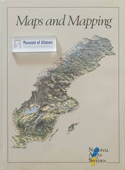
National Atlas of Sweden, Vol. 01: Maps and Mapping
Sweden · 1990
National Atlas of Sweden, Volume 11: Cultural Heritage and Preservation
Sweden · 1994

National Atlas of Sweden, Vol. 05: Agriculture
Sweden · 1992
National Atlas of Sweden, Volume 07: Sea and Coast
Sweden · 1992
National Atlas of Sweden, Volume 04: The Environment
Sweden · 1991
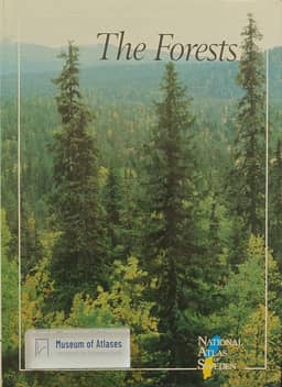
National Atlas of Sweden, Vol. 02: The Forests
Sweden · 1990
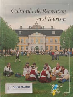
National Atlas of Sweden, Vol. 08: Cultural Life, Recreation and Tourism
Sweden · 1993
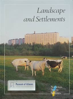
National Atlas of Sweden, Vol. 13: Landscape and Settlements
Sweden · 1994

National Atlas of Sweden, Vol. 07: Sea and Coast
Sweden · 1992
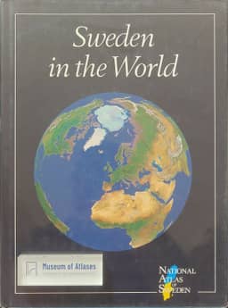
National Atlas of Sweden, Vol. 09: Sweden in the World
Sweden · 1993
National Atlas of Sweden, Volume 01: Maps of Sweden
Sweden · 1990
National Atlas of Sweden, Volume 14: Climate, Lakes and Watercourses
Sweden · 1995
National Atlas of Sweden, Volume 05: Agriculture
Sweden · 1992
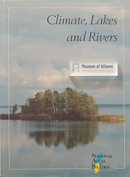
National Atlas of Sweden, Vol. 14: Climate, Lakes and Rivers
Sweden · 1995

National Atlas of Sweden, Vol. 04: The Environment
Sweden · 1992
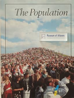
National Atlas of Sweden, Vol. 03: The Population
Sweden · 1991
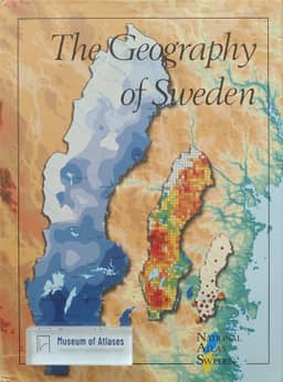
National Atlas of Sweden, Vol. 17: The Geography of Sweden
Sweden · 1996
National Atlas of Sweden, Volume 10: Work and Leisure
Sweden · 1993

National Atlas of Sweden, Vol. 16: Geography of Plants and Animals
Sweden · 1996
National Atlas of Sweden, Volume 17: Geography of Sweden
Sweden · 1996
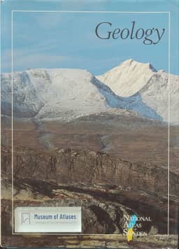
National Atlas of Sweden, Vol. 12: Geology
Sweden · 1994

National Atlas of Sweden, Vol. 06: The Infrastructure
Sweden · 1992
National Atlas of Sweden, Volume 13: The Cultural Landscape and Settlement
Sweden · 1994
National Atlas of Sweden, Volume 03: The Population
Sweden · 1991
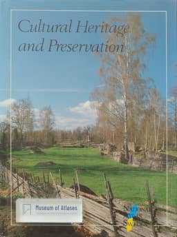
National Atlas of Sweden, Vol. 11: Cultural Heritage and Preservation
Sweden · 1994
National Atlas of Sweden, Volume 06: Infrastructure - Administration, Communications, Energy
Sweden · 1992
National Atlas of Sweden, Volume 08: Cultural Life, Recreation and Tourism
Sweden · 1993
National Atlas of Sweden, Volume 02: The Forest
Sweden · 1990
National Atlas of Sweden, Volume 12: Bedrock and Soil
Sweden · 1994
Comments
Loading...
0/2000