
National and regional atlases and national/regional identity
National- und Regionalatlanten und nationale/regionale Identität
- Publication
- Geografski Vestnik
- Volume
- 74
- Issue
- 2
- Pages
- 69-84
Croatia · Version 1
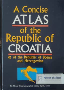
1993Peter Jordan reads the 1993 A Concise Atlas of the Republic of Croatia & of the Republic of Bosnia and Hercegovina as emphasizing the legitimacy and continuity of Croatian statehood and Croatia's role as the small homeland of a larger nation. He identifies state symbols, paired images of the 1848 and contemporary parliaments, and seven maps of territorial development as expressions of historical statehood. He interprets the map showing the age of borders as a response to claims that Yugoslavia's republican boundaries lacked historical foundations. Maps of Croats abroad and Croatian dialects extend the national frame beyond the state. Jordan particularly notes that the Štokavian dialect map classifies dialects across Bosnia and Hercegovina as Croatian, presenting the whole country as part of Croatian cultural space—a classification he contrasts with the prevailing view in Serbia.
View whole-article summary
National and Regional Atlases and National/Regional Identity Publishers of national and regional atlases aim not only to convey information but also to present national and regional identity. The article presents four atlases: the Tyrol Atlas, the Regional Atlas of Lower and Opole Silesia, the Concise Atlas of the Republic of Croatia & of the Republic of Bosnia and Hercegovina, and the Slovenian National Atlas. The author defines what kind of national or regional identity the atlases convey.
Related Atlases
Comments
Loading...
0/2000