
National atlases: concept, content, development experience
Национальные атласы: концепция, содержание, опыт разработки
- Publication
- Известия Академии наук СССР. Серия географическая
- Issue
- 3
- Pages
- 31-38
Cuba · Version 2
1970In their account of national-atlas compilation, the authors describe the first National Atlas of Cuba, prepared jointly by Soviet and Cuban scholars in 1965–1970. They characterize its structure as schematic, with six sections covering introductory material, general geographical maps, nature, agriculture–industry–transport, population and culture, and history. The discussion identifies six geomorphological maps, three hydrological maps, 18 agricultural maps and 15 industrial maps, with industrial coverage including sugar, tobacco and fisheries. The authors explain that limited geographical knowledge prevented the inclusion of several important topics; two soil maps based on different concepts were included. They also emphasize the atlas’s use of synthetic general economic maps. They report that it received more than 50 reviews and was awarded the USSR State Prize in 1973.
View whole-article summary
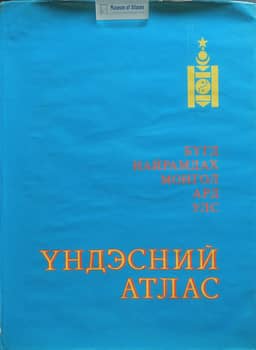
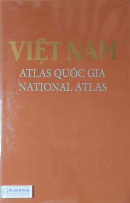
The article summarizes the experience of cooperation between the Institute of Geography of the USSR Academy of Sciences and geographers and cartographers of Cuba, Mongolia, and Vietnam in creating national atlases of these countries. The scientific concept of the atlases, the integrity and coverage of their themes, the combination of fundamental character and practical orientation, structural features, and integration potential are analyzed. The authors propose a working definition of a national atlas as a fundamental comprehensive cartographic work reflecting a special object of mapping—the nation-state as an integral entity in all its systemic complexity and the interaction of internal and external factors and historical prerequisites of its existence and development. The thematic structure of national atlases is examined in detail, noting that they should include main sections such as introductory, general geographical, historical-revolutionary, nature and natural resources, population, settlement, economy, socio-economic development, and social infrastructure. Based on the experience of creating four national atlases (totaling over 1,400 thematic maps), the authors formulate a series of principles for developing such atlases for countries with insufficient geographical and cartographic study, including: breadth of thematic coverage, reflection of the country's resource-ecological, socio-economic, and ethno-cultural specifics, provision of a realistic picture of the degree of comprehensive study, development of a flexible structure, and implementation as a special targeted program. The scale series of the atlases are analyzed. The systemic nature and integration potential of national atlases are emphasized, as they embody the most important features of comprehensive mapping, elevating it to the level of systemic cartography. In conclusion, the authors stress that national atlases can serve as an effective tool for sectoral and regional planning, as a summary of materials on the study of a country's territory, and can accelerate research when the territory is insufficiently studied, promoting the development of national scientific schools and the consolidation of research teams.
Related Atlases



Comments
Loading...
0/2000