
National atlas of Mongolia and revision
Монгол Улсын Үндэсний Атлас Ба Шинэчлэл
- Publication
- Монгол Орны Газарзүй-Геоэкологи Сэтгүүл
- Issue
- 43
- Pages
- 260-266
Mongolia
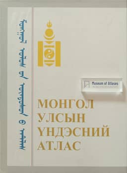
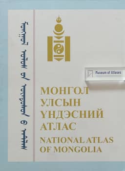
2022In their compilation account, the authors describe the 2022 third edition of the National Atlas of Mongolia as a revision drawing on the 2009 atlas database, with statistics updated to 2020 and new research results incorporated. More than 160 specialists from approximately 30 organizations participated. Commissioned in 2019, the work was delayed by COVID-19, resumed in February 2022 and was published in Ulaanbaatar that September. The bilingual Mongolian–English atlas contains 251 pages and 246 maps, with an introductory section and four main divisions covering historical and present-day territory, natural conditions and resources, population and society, and the economy. The authors note the use of digital elevation models as backgrounds for some maps and the adoption of UTM projection under the government’s July 2022 decision on the national geodetic framework.
View whole-article summary
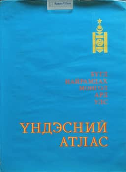
Marking the Institute of Geography and Geoecology’s 60th anniversary, the authors review the 1990 National Atlas of the Mongolian People’s Republic and its 2009 and 2022 revisions, published as the National Atlas of Mongolia. Commissioned in 1973, the first atlas’s manuscript was completed in 1985 after more than a decade of work by over 300 Mongolian and Russian researchers. It combined expedition findings with specially collected socioeconomic data and manually prepared maps, and appeared in separate Mongolian and Russian publications in 1990. The 2009 Mongolian-language revision took one year, drawing on earlier materials, accumulated experience, GIS and statistical data, principally from 2007. The bilingual Mongolian–English 2022 revision used the 2009 database, statistics updated to 2020 and new research; work begun in 2019 was delayed by COVID-19. The article compares dimensions, contributors, production periods, languages, scales, thematic organization, sources and mapping techniques. Map totals fell from 276 to 256 and 246, while the authors judge thematic coverage largely stable. Both later editions use DEM backgrounds for some maps; the 1990 and 2009 maps use Gauss–Krüger (Pulkovo 1942), whereas the 2022 edition uses UTM under a government decision. The authors emphasize the continuing use of established thematic mapping methods and identify the 1990 atlas’s explanations of sources, phenomena, methods and practical uses as a particular strength.
Related Atlases
Comments
Loading...
0/2000