
National atlas of Lithuania, Volume 1 (Atlas-semiotic analysis)
Национальный атлас Литвы, Том 1 (Атласно-семиотический анализ)
- Publication
- Геоконтекст
- Issue
- 3
- Pages
- 58-60
Lithuania · Version 1
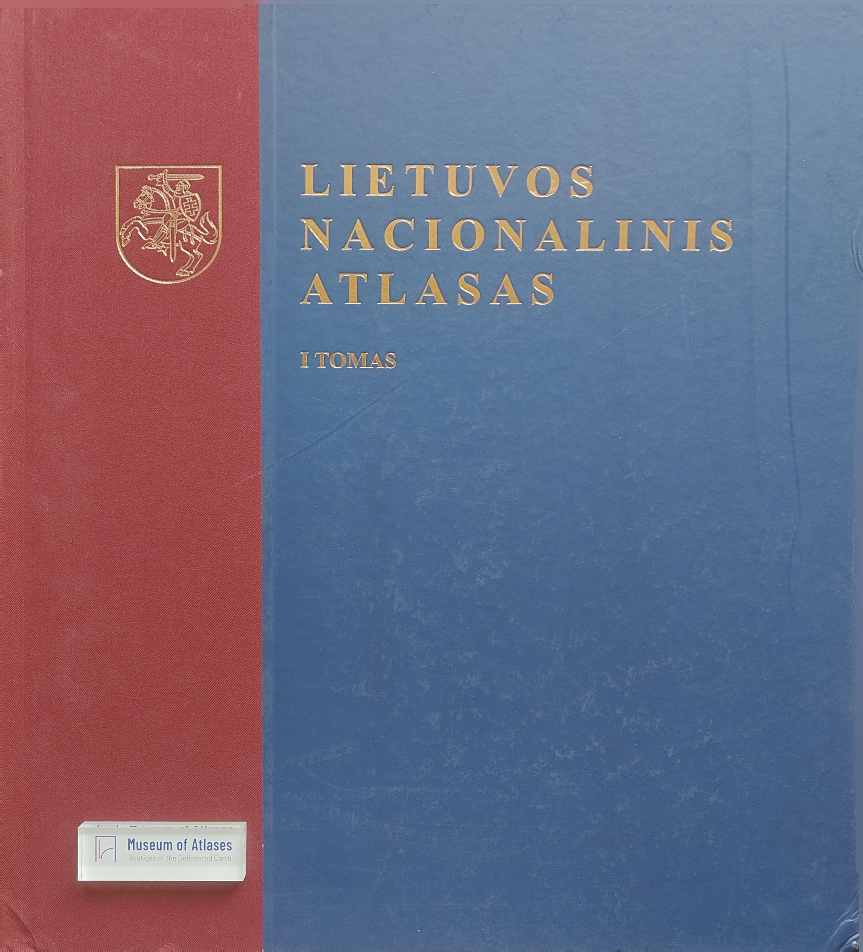
1981–2017A. Volodchenko analyses Volume 1 of the Lithuanian National Atlas, which the article reports was published in Vilnius in 2014 after seven years of work. He divides its 142 pages into introductory material (8%), a thematic core (82%) and an appendix (10%). The core covers Lithuania in the world and Europe and nature and landscapes; the appendix contains a geographical-name index and English commentaries. Counting maps by section, scale and page, he records 235 maps, including 25 in the first thematic section and 205 in the second. Small-scale maps predominate, with 72 at 1:2,000,000, and all maps use single-page layouts. His page-by-page assessment of cartographic, textual and illustrative information yields a semiotic profile of 68.7% maps, 26.0% text and 5.3% photographs or illustrations.
View whole-article summary
In 2014, after seven years of persistent work, the first volume of the national Atlas of Lithuania was published in Vilnius, comprising two sections: - Lithuania in the world and in Europe, and - Nature and landscapes. The previous national atlas of Lithuania was published in Lithuanian and Russian in 1981 in the USSR under the title Atlas of the Lithuanian SSR (GUGK, Moscow 1981).
Comments
Loading...
0/2000