
National Atlas of Italy
- Publication
- Geographical Review
- Volume
- 30
- Issue
- 2
- Pages
- 340-342
Italy · Version 1
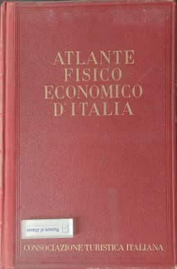
1939The review examines Giotto Dainelli's Atlante fisico-economico d'Italia, listed as published by Consociazione Turistica Italiana in Milan in 1940, with technical execution directed by Piero Corbellini and explanatory notes edited by Aldo Sestini. Dainelli conceived the atlas thirty-five years earlier; he states that its production depended on the availability of the 1927 industrial, 1929 agricultural and 1931 demographic census results. Its 82 colored plates contain 508 thematic maps covering physical conditions, climate, population, agriculture, industry, commerce and social topics, chiefly depicting contemporary Italy while including some earlier conditions and recent trends. Each plate identifies its sources, and the accompanying text explains the maps. The reviewer highlights the richness of the coverage and the clean printing. Three population-density maps distinguish total, concentrated and dispersed populations, showing generally contrasting settlement patterns with exceptions around several major cities. The review also examines the use of commune, agrarian-zone and provincial statistics, noting the absence of boundary key maps. It criticizes smoothly drawn isopleths for suggesting unsupported intermediate densities between administrative areas, while judging the atlas otherwise one of the finest of its kind.
Comments
Loading...
0/2000