
National and regional atlases of Australia
- Publication
- Selected Papers, Regional Geography and Cartography
- Volume
- 4
- Pages
- 340-343
Australia · Version 1
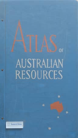
1960–1977T. W. Plumb reviews 1964–68 progress on the second series of the Atlas of Australian Resources and its accompanying booklet commentaries. Planned principally as revisions of first-series maps, with some topics added or withdrawn, the series had ten sheets published or printed and six in preparation by July 1968. Plumb describes more extensive data collection and analysis, a small staff and budget, and reliance on government and university specialists who supply information, sometimes compile maps, and usually write the commentaries. Editorial notes increasingly document sources, compilation criteria and procedures. Thematic examples show how uneven data coverage shapes compilation: vegetation revision gathers unpublished information and seeks a reconstruction of pre-European vegetation; the new forest sheet depicts existing forest resources; and the surface-water sheet combines runoff records with other information, especially climatic data. Groundwater coverage and aggregated statistical data present continuing limitations. Progressive publication permits individual topic revision but creates difficulties integrating sheets, maintaining style and coordinating replacement cycles; dwindling stocks can also force revision. Plumb proposes discussion of obsolescence, revision frequency and loose-leaf publication by the IGU Commission on National Atlases. The article concludes with accounts of the published Atlas of Tasmania and the developing New South Wales and Fitzroy regional atlases.
Related Atlases
Comments
Loading...
0/2000