
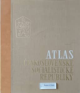
National atlas of the Czechoslovak Socialist Republic
Národní atlas ČSSR
- Publication
- Sborník Československé společnosti zeměpisné
- Volume
- 69
- Issue
- 4
- Pages
- 306-316
Czechoslovak · Version 2
1966The article reports on preparation of the National Atlas of the ČSSR, the Atlas of the Czechoslovak Socialist Republic. Following the 1957 geographers' congress, an academy geographical commission coordinated the work; an editorial board appointed in November 1962 prepared the map list, model and project, which received academy approval. Compilation entered the state research programme and involved academy institutes, mapping authorities, universities and numerous specialist and administrative bodies, some of which conducted detailed surveys for the atlas. The planned detachable-sheet volume would contain more than 400 maps on 58 sheets, with explanatory text, Russian and English summaries and legends, and a geographical-name index. Its 86 × 50 cm sheets accommodate the whole country at 1:1,000,000; smaller national maps use scales through 1:6,000,000. The article explains the equal-area conic projection, sheet layouts and five sections: introduction, natural environment, population and settlements, national economy, and living standards. A proposed large-scale regional section was omitted for economy. International comparisons assess map area and the constraints of the country's shape. Comparing thematic coverage and crop maps with the 1935 atlas, the author argues that denser presentation enriches content without sacrificing readability. Detailed discussion covers municipality-level choropleths, district areas divided proportionally between urban and rural populations, coordinated value scales, proportional symbols and crop dots. It also explains limits to comparability when dot values differ between crops. The article closes with a sheet-by-sheet catalogue of themes and scales.
Related Atlases
Comments
Loading...
0/2000