
Modern trends in the development of complex atlases abroad
Современные тенденции в развитии комплексных атласов за рубежом
- Publication
- Геодезия и картография
- Issue
- 2
- Pages
- 65-72
West Germany · Version 1
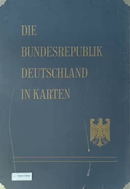
1965K. A. Salishchev examines Die Bundesrepublik Deutschland in Karten as an atlas intended for regional planning and design organizations, discussing its programme and first two instalments, issued in 1965 and 1966. Prepared by three federal institutions, it was planned as a loose-leaf publication of 93 sheets, with population and economic maps occupying most of its programme; the first two instalments contained 32 sheets. He highlights its detailed demographic and social coverage, temporal comparisons, practical soil maps and synthetic regionalization maps. His criticisms concern the unwieldy sheet sizes, inconsistent generalization for wall and desk use, excessive reliance on administrative units for statistical mapping, and the absence of explanatory commentary. He also rejects its treatment of state boundaries and post-1945 population movements on political grounds, citing the Potsdam decisions of 1945.
View whole-article summary
This article analyzes new trends in the development of comprehensive atlases abroad during the 1960s, focusing on three case studies: the Atlas of Normandy in France, the atlas 'The Federal Republic of Germany in Maps', and the Fitzroy Region resources atlas in Australia. The study finds that comprehensive atlases were shifting from purely scientific research tools to practical products serving regional planning and economic development. Their organization increasingly involved multi-institutional collaboration, content design emphasized thematic relevance and the integration of maps with textual commentary, while automated techniques for producing simplified statistical maps were emerging. The article also discusses mechanisms for atlas updating and the potential of automated cartographic methods.
Related Atlases
Comments
Loading...
0/2000