
A milestone in the development of modern Chinese cartography: Features and innovations of the National Atlas of China
中国现代地图学发展的里程碑——中国国家地图集的特点与创新
- Publication
- 地理科学进展
- Volume
- 20
- Issue
- 3
- Pages
- 201–208
China · Version 6
1989–2012Liao Ke describes the contents, sources and production of China's national general, physical, economic and agricultural atlases. The General Atlas draws on topographic surveys and the national place-name survey, covering regions, provinces, cities and seas. The Physical Atlas synthesizes scientific surveys and long-term observations in sections on the natural environment, resources, hazards, and the use and protection of nature; Liao emphasizes its treatment of human–nature relationships. The Economic Atlas uses censuses and economic statistics to map sectoral structures and regional differences, including foreign investment and pollution management. The Agricultural Atlas combines natural conditions, agricultural economics and production technology to depict agricultural distribution, production levels and regional inequalities. Liao describes satellite imagery and computer processing in the physical, economic and agricultural volumes, a statistical-mapping expert system for the Economic Atlas, and fully digital design, editing and automated plate-making for the Physical Atlas. He records Chinese and English publication of the economic and physical atlases and reports the Physical Atlas's outstanding-atlas award at the 2001 International Cartographic Conference exhibition.
View whole-article summary
This paper elaborates on the importance of national atlases and the compilation history of the National Atlas of China, focusing on the characteristics and innovations in its compilation: ① A comprehensive compilation of China's natural, population, economic, social, and historical information; ② A systematic summary and synthesis of research achievements in China's geosciences, biology, environmental science, economics, and history; ③ The compilation of the national atlas adhered to the "sustainable development strategy," highlighting the relationship between humans and nature; ④ The compilation achieved a fundamental transformation from traditional techniques to fully digital and automated processes, with electronic atlases and internet map formats better meeting the demands of the information society. The completion of the National Atlas of China not only holds significant scientific value, practical applications, and social benefits but also comprehensively advances the development of contemporary Chinese cartography. As a major innovative achievement in China's scientific and technological community during the 20th century, this monumental atlas, embodying the wisdom of two to three generations of Chinese scientists and cartographic experts, is unprecedented in China's history and rare on a global scale. The National Atlas of China represents the highest level of current Chinese cartographic development, has exerted considerable international influence, and occupies an important position among national atlases worldwide. Its completion has made a historic and tremendous contribution to the development of Chinese cartography, truly serving as a milestone in the advancement of modern Chinese cartography.
Related Atlases
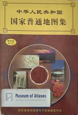
National General Atlas of the People's Republic of China: Essential Edition
China · 1998
National General Atlas of the People's Republic of China
China · 1995
National Historical Atlas of the People's Republic of China, Volume One
China · 2012
The National Physical Atlas of China
China · 1999
Electronic Edition of the National Economic Atlas of China
China · 1996
Electronic Edition of the National Natural Atlas of China
China · 2003
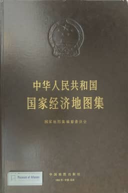
National Economic Atlas of the People's Republic of China
China · 1993
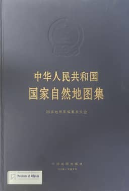
National Atlas of the People's Republic of China
China · 1999
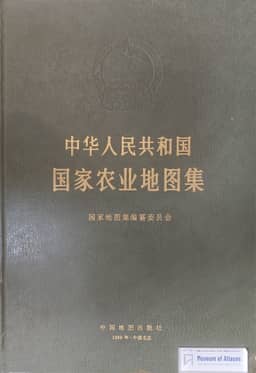
National Agricultural Atlas of the People's Republic of China
China · 1989
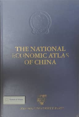
The National Economic Atlas of China
China · 1994
Comments
Loading...
0/2000