
Maps and atlases: Atlas of Brazil
Mapy a Atlasy: Atlas do Brasil
- Publication
- Sborník Československé společnosti zeměpisné
- Volume
- 65
- Issue
- 1
- Pages
- 77-78
Brazil
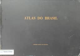
1959Jar. Miller reviews Rudolf Ira and Edgar Klettner’s Atlas do Brasil “Globo”, published in Porto Alegre in 1953. This commercial atlas was produced with the cooperation of Brazil’s geographical-statistical institute and the army’s geographical service. It contains 26 full-page maps, including political and physical maps of Brazil and maps of its states, federal district, and territories, together with a 36-page descriptive index compiled by Lourenço Mário Prunes, census information for 1872–1950, and statistical tables. Miller criticizes the allocation of one page to each political unit regardless of size, noting sparse topographic detail especially in São Paulo and Minas Gerais. He also reports the atlas introduction’s warning that some regions remained unmapped or had only outdated maps. He characterizes the maps as general overviews without elevation shading, showing waterways, transport networks, and settlements. He finds the index comparatively rich, with geographical descriptions and location and population data, and explains that municipal population figures cover the entire administrative district.
Related Atlases
Comments
Loading...
0/2000