
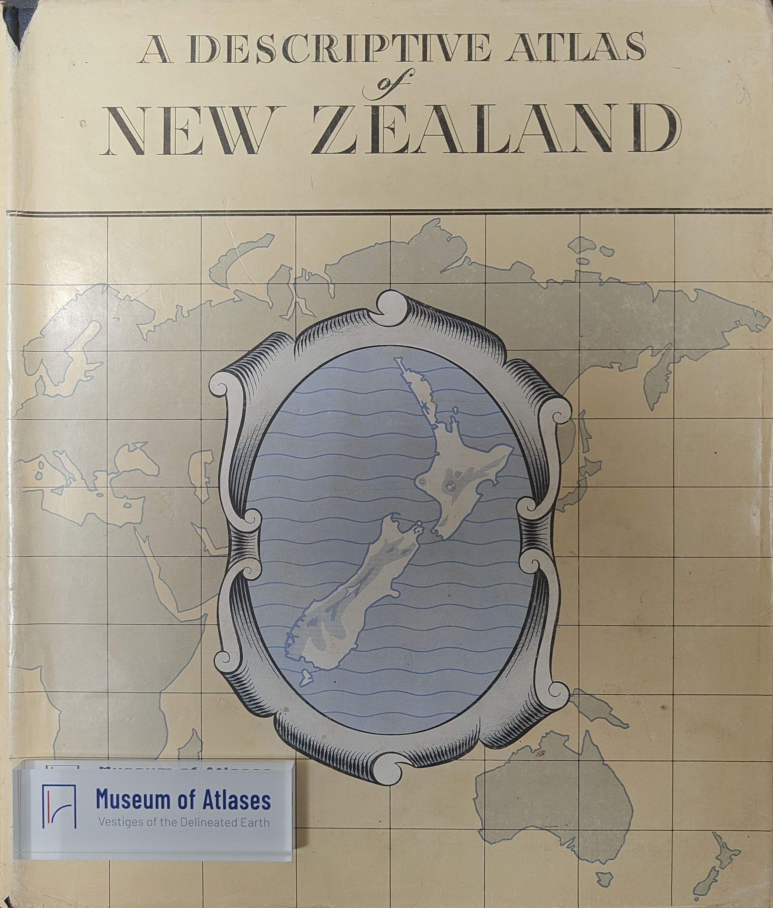
Maps and atlases: A descriptive atlas of New Zealand
Mapy a Atlasy: A Descriptive Atlas of New Zealand
- Publication
- Sborník Československé společnosti zeměpisné
- Volume
- 67
- Issue
- 3
- Pages
- 281-282
New Zealand · Version 1
1960–1976L. Mucha reviews A. H. McLintock’s A Descriptive Atlas of New Zealand, cited as published in Wellington in 1959. Produced over nearly five years with government patronage and a prime ministerial foreword, it combines a small national atlas with extensive text on geography, geology, discovery and colonization. Its coverage includes New Zealand’s island territories. Mucha highlights monochrome maps of transport frequency and Māori distribution, and praises the selection of aerial photographs, which receive separate commentary. The map section opens with a world map in Postel’s equidistant azimuthal projection centered on Wellington. It includes physical and supplementary maps mainly at 1:3,200,000, seven regional maps at 1:1,000,000, larger-scale city and surrounding-area maps, and maps of island territories and Antarctica, including the Ross Dependency. Mucha considers the atlas a useful source of information and values its unconventional combination of maps, more extensive textbook-style text and illustrations.
Related Atlases
Comments
Loading...
0/2000