
Maps of the National atlas of Ukraine as an information base for studying the formation of population size
Карти Національного Атласу України як інформаційна база для дослідження формування чисельності населення
- Publication
- Український географічний журнал
- Issue
- 2
- Pages
- 3-9
Ukraine · Version 1
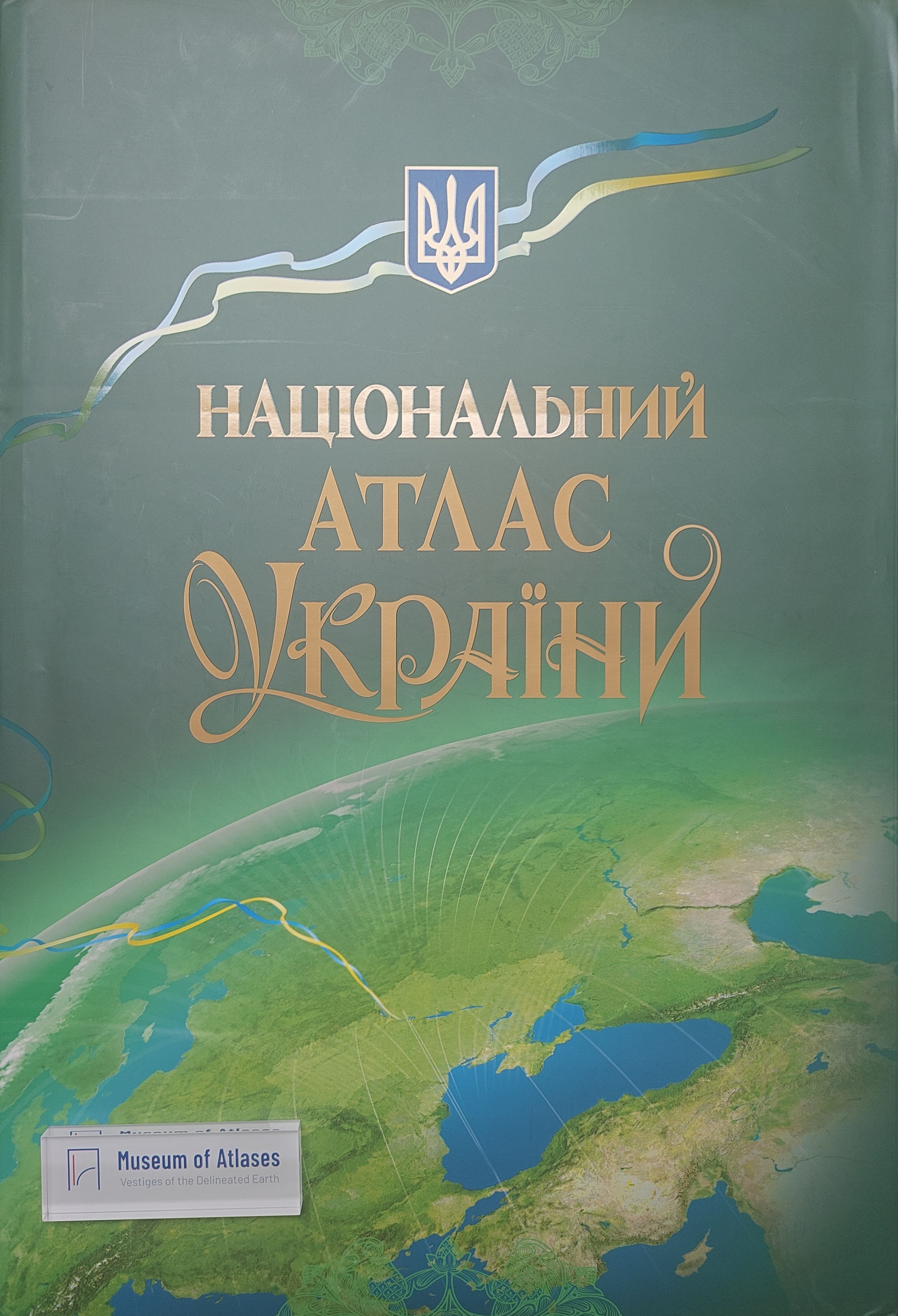
2007Bochkovs’ka and Rudenko demonstrate how population maps in the 2007 National Atlas of Ukraine can support the study of regional demographic change. Among the volume’s 865 maps, a series traces population size, structure and settlement from 1897 to 1989. It draws on censuses conducted by states that governed parts of Ukraine, with the data adapted to Ukraine’s contemporary administrative divisions by the Institute of Demography and Social Studies. The authors use these maps alongside statistical and historical sources to examine regional shifts, including population growth and urbanisation in the industrial east. They conclude that the analysis demonstrates the atlas’s value as a scientific and information resource for studying and monitoring natural and social processes in Ukraine.
View whole-article summary
This paper explores the use of the National Atlas of Ukraine as an information base for studying population formation processes in the country. The atlas comprises 865 maps, including a series depicting the dynamics of population size, structure, and distribution across Ukrainian regions from 1897 to 1989. Utilizing these maps alongside census data, the study analyzes the impact of various historical events—such as the World Wars, industrialization, famines, and the Chornobyl disaster—on demographic trends. Findings reveal significant population growth in eastern industrial regions due to migration and industrialization, while western and central areas experienced declines owing to war, repression, and resettlement. The atlas is highlighted as a crucial scientific resource for demographic historical research.
Comments
Loading...
0/2000