
Mapping a continent
- Publication
- The Bulletin
- Volume
- 77
- Issue
- 4002
- Pages
- 4
Australia · Version 1
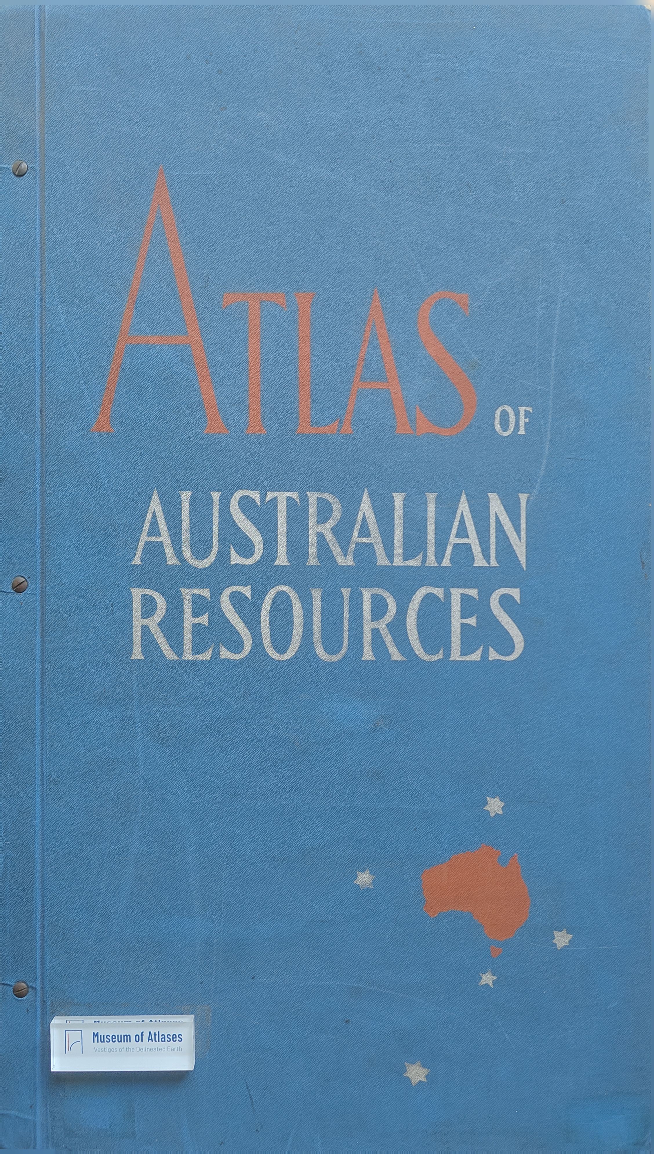
1960–1990The review opens with a humorous account of Australian mapping, from imaginative early depictions to the surveying of the coastline and interior, then turns to thematic maps conveying specialist knowledge about natural conditions and society. Its main subject is the Department of National Development’s Atlas of Australian Resources, begun about six years earlier, with Konrad Frenzel appointed editor in 1950. Twenty maps had been completed toward a planned total of at least fifty, each accompanied by a commentary. Departmental and C.S.I.R.O. mapping staff worked with state departments, universities and scientific institutions; commercial printers produced the sheets by offset in eight to thirteen colours, and Angus and Robertson distributed them. The physical-features sheet combined contours, aerial-photograph mosaics prepared with R.A.A.F. cooperation, and ecologists’ knowledge of remote areas. Other sheets covered thirty-five vegetation types, agriculture, livestock, climate, drainage and seventy minerals. The reviewer particularly explains how colours and symbols on the 1933–1947 population-change map show rural losses, town-level differences and capital-city growth. Praising the maps’ visual quality and explanatory clarity, the reviewer considers the published sheets worth buying and makes the project’s overall success conditional on maintaining their standard.
Related Atlases
Comments
Loading...
0/2000