
On the national atlas of Hungary
Magyarország Nemzeti Atlaszáról
- Publication
- Földrajzi Közlemények
- Volume
- 93
- Issue
- 2
- Pages
- 151-161
Hungary · Version 1
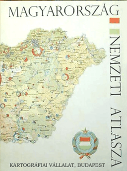
1967Tivadar Bernát and László Lackó review the 1967 Magyarország Nemzeti Atlasza (National Atlas of Hungary), concentrating on economic geography and cartography while also considering science policy, education and planning. They trace its approximately eight-year preparation to an initiative of the State Office of Surveying and Mapping in 1959. Government subsidies, developments in Hungarian geography and cartography, and administrative demand supported production by about 30 staff of the Cartographic Enterprise, with specialists from 17 institutions editing and reviewing maps. The authors value the atlas’s integrated presentation of Hungary’s natural and socioeconomic conditions and its uses in teaching, international information and planning. They find its structure generally clear and its thematic coverage rich, but consider industry underrepresented and criticize inconsistent reference years, reliance on readily available data, and omitted economic topics. Their detailed assessment examines base-map consistency, generalization, scale, symbols, colour sequences and legibility. Choropleth maps and cartodiagrams predominate; they call for greater use of dot-distribution and isoline methods. They praise geomorphological, population, settlement and several industrial maps, while sharply criticizing the land-use map and numerous colour scales. They distinguish editorial and design faults from careful printing and binding, and suggest a loose-sheet format to permit replacement and updating. Despite these criticisms, they judge the atlas modern, internationally well placed and useful as a reference for planners, researchers and teachers.
Comments
Loading...
0/2000