
Literature: Atlas of the Czechoslovak Republic
Litteratur: Atlas Republiky Československé
- Publication
- Geografiska Annaler
- Volume
- 19
- Issue
- 3-4
- Pages
- 294-295
Czechoslovak · Version 1
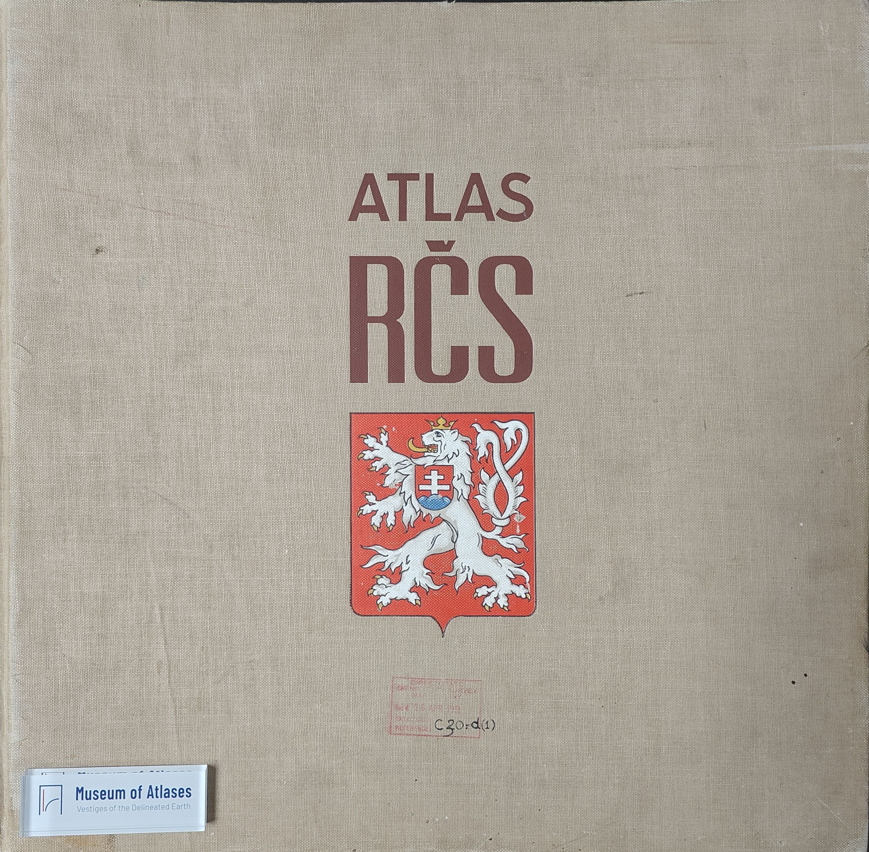
1935–1966H. W:son Ahlmann reviews the Atlas of the Czechoslovak Republic, cited as an Orbis publication, Prague, 1936. Proposed in 1922 and endorsed by the 1924 Slavic Congress of Geography and Ethnography, the project was delayed for economic and political reasons until an editorial committee under the Czech Academy was appointed in 1929; it was completed six years later. Its 55 double-page map sheets cover physical geography, population, agriculture, industry, transport, trade, education, social conditions, sports, and tourism. Ahlmann discusses the use of cartograms, different-sized dots for settlements, squares for nationality distributions, percentage maps for religious affiliations, and numerous small thematic maps. Map text is in Czech and French; 42 pages of supplementary text in Czech, French, English, or German, edited by Václav Láska, provide political, historical, and geographical explanations. Ahlmann praises the Army Geographical Section’s cartographic workmanship and considers the explanatory texts essential to appreciating the maps. He regards the atlas as a valuable national publication serving domestic readers and administration and promoting knowledge of the country abroad, while noting its high cost to publishers and buyers. He explicitly stops short of a detailed critical examination of an individual section.
Related Atlases
Comments
Loading...
0/2000