
Literature: Physical-economic atlas of Italy
Litteratur: Atlante Fisico-Economico D'Italia
- Publication
- Geografiska Annaler
- Volume
- 23
- Pages
- 141-142
Italy · Version 1
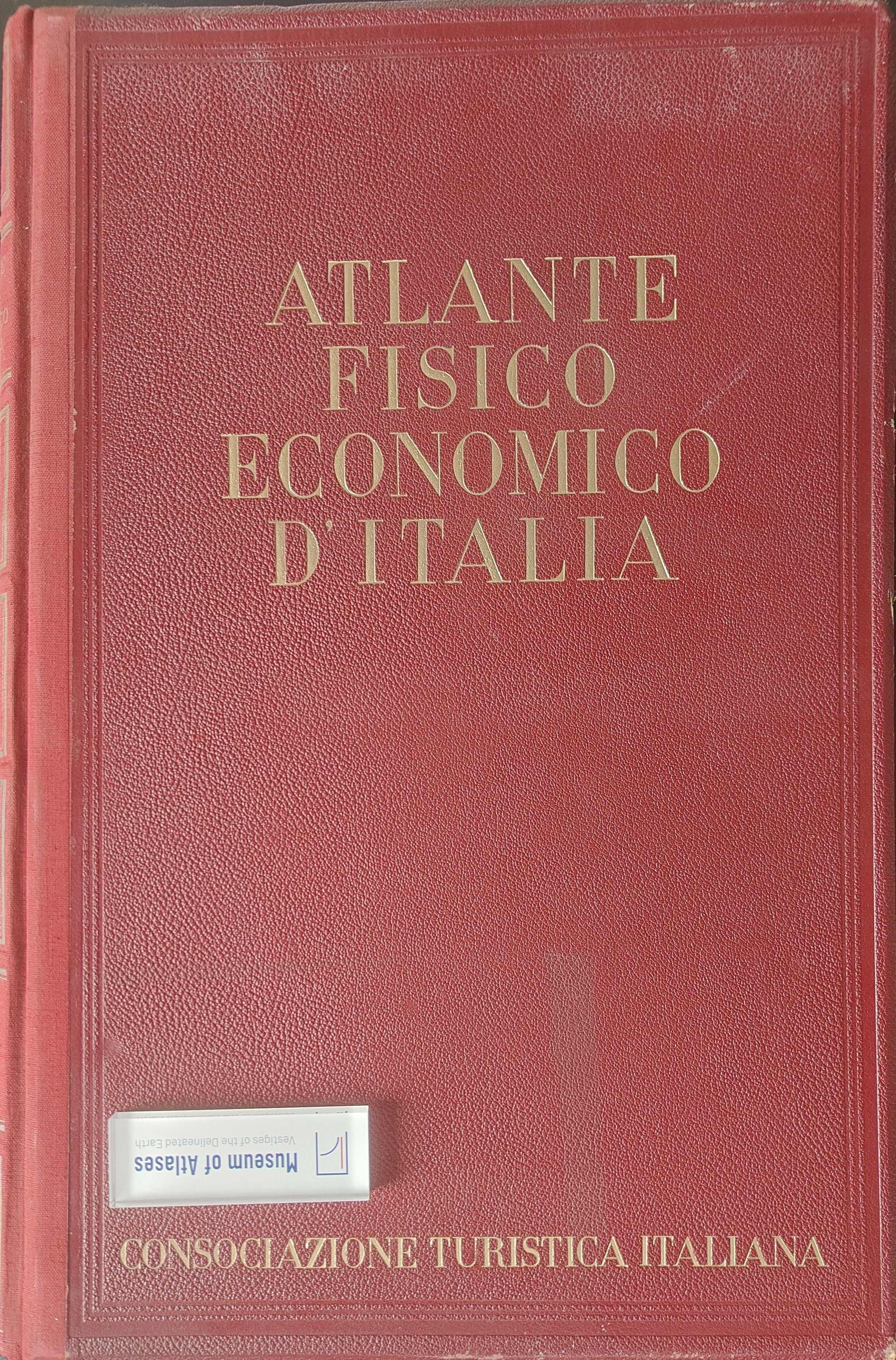
1939Nils Friberg reviews the Atlante Fisico-Economico d’Italia within the growing tradition of national atlases. Initiated by the Touring Club Italiano, subsequently renamed Consociazione Turistica Italiana, the atlas commemorated the society's fortieth anniversary. Friberg traces the proposal to S. E. Dainelli in 1904 and associates its eventual realization with fascist national self-assertion. Twenty-three professors prepared more than 600 maps in about four years, with Dainelli responsible for editing and Aldo Sestini for the commentary. Friberg values the maps' source lists and extensive statistical basis, while noting that much of the data described conditions around 1930 and that some survey practices limited accuracy. The atlas covers metropolitan Italy's physical geography, population, economic activities, power, communications, culture and administration, excluding Albania and the rest of the empire. Friberg finds its general coverage useful but calls for fuller treatment of soils and agriculture and notes missing maps of fishing, mining and foreign trade. He particularly praises the treatment of seasonal labour migration, electricity supply and the historical development of population patterns. His assessment of cartographic methods is mixed: he questions the reliability of interpolated intensity zones and criticizes symbols and inconsistent designations that hinder reading and comparison. He praises the restrained colours but finds some commentaries too brief and descriptive to explain economic-geographical relationships. Despite these shortcomings, he regards the atlas as a lasting contribution to Italian geographical research and a possible model for a future Swedish national atlas.
Comments
Loading...
0/2000