
Literature. Atlas of the Czechoslovak Republic
Literatura. Atlas Republiky Československé
- Publication
- Sborník Československé společnosti zeměpisné
- Volume
- 37
- Pages
- 127-128
Czechoslovak · Version 1
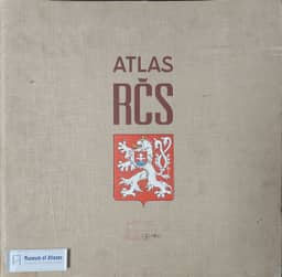
1935R. Turčín reviews the Atlas of the Czechoslovak Republic as publication begins in October, with subscriptions offered through 31 December 1931. Issued by the Czech Academy of Sciences and Arts through Orbis with Foreign Ministry support, it is directed by J. Pantoflíček and an editorial board, with more than sixty specialist contributors. The planned eighteen installments will contain 442 maps on 54 sheets, covering physical geography, population, agriculture, industry, transport, commerce, finance and education. The Military Geographical Institute in Prague prints the maps at principal scales of 1:1,250,000, 1:2,500,000 and 1:5,000,000; a roughly 280-page geographical-statistical encyclopedia is planned to explain the maps and analyze their data. Turčín surveys completed sheets on relief, geology, climate, population, soils, crops, livestock, food industries and foreign trade, noting agricultural measures expressed per inhabitant and per unit of land. He also outlines forthcoming historical, hydrographic, biogeographical, nationality, migration and transport maps. He praises the atlas's breadth, presentation and printing, judges it superior to the atlases of Pfohl and Čihaš, and anticipates its value for geographical, economic and sociological study and for representing Czechoslovak scholarship abroad.
Comments
Loading...
0/2000