
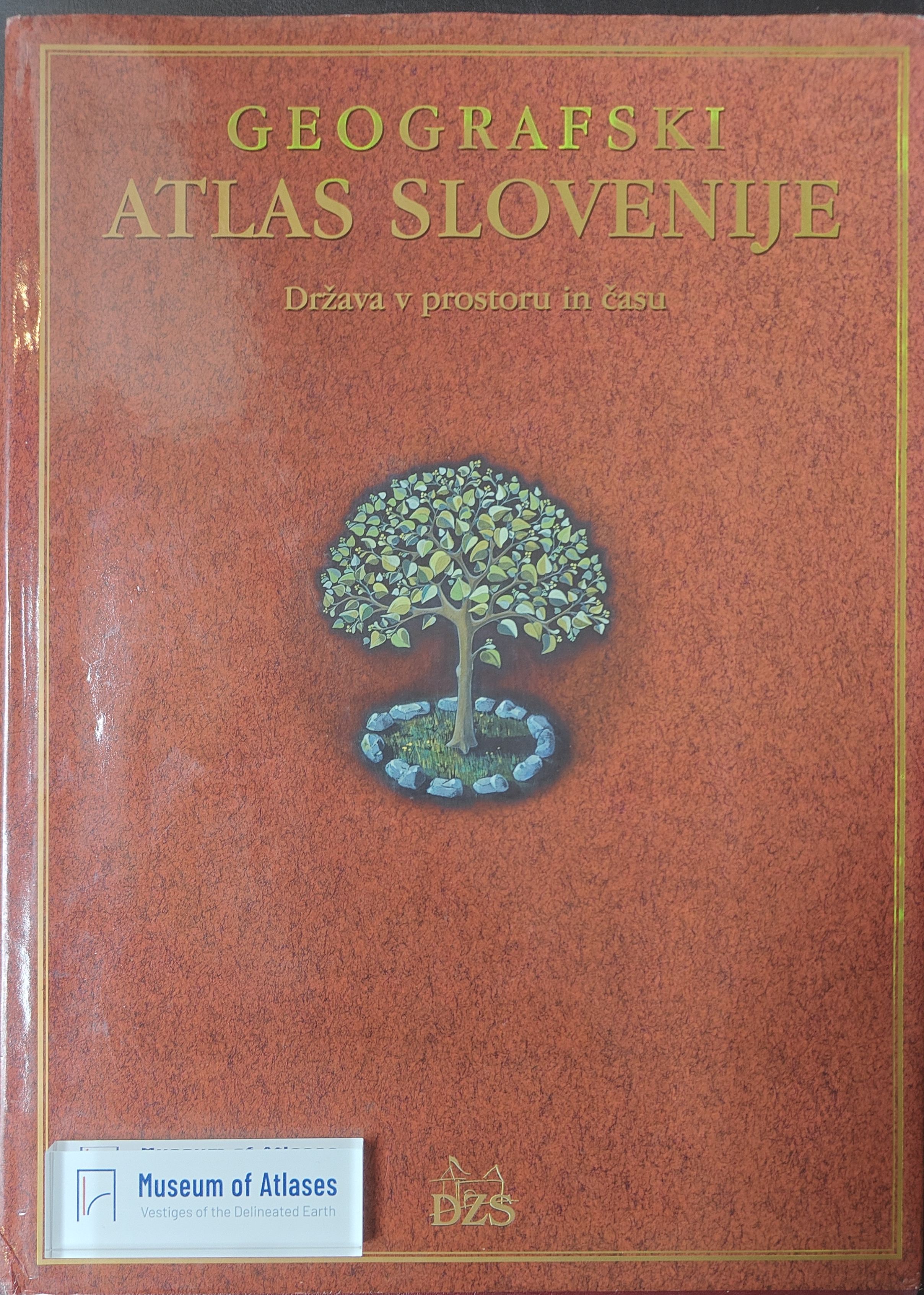
The geographical atlas of Slovenia: The state in space and time
L'Atlas géographique de Slovénie : l'État dans l'espace et dans le temps
- Publication
- Méditerranée
- Volume
- 103
- Pages
- 95
Slovenia · Version 1
1998–2001Jean Nicod reviews Geographic Atlas of Slovenia: The Country in Space and Time, praising its extensive documentation, harmonious map colours, aerial photographs and satellite images. Its seven sections cover Slovenia’s European setting, cartographic representations, physical geography, population, human activities, settlement and environment; it includes a five-sheet topographic map at 1:300,000. Population and agricultural maps use administrative units and accompanying statistical tables. Nicod highlights original maps of landforms, karst surfaces and waters, weather types, daily commuting, Slovenes abroad, territorial settlement and agrarian systems. He notes that information on major tectonic faults must be sought in the natural-hazards map, documentation on snow-cover duration is missing, and brief English notes make some legends difficult to understand. He regards these as minor limitations and values the atlas as a geographical inventory and illustrated account of Slovenia’s landscapes and activities.
Related Atlases
Comments
Loading...
0/2000