
The atlas of France
L'atlas de France
- Publication
- Comptes rendus du Congrès International de Géographie, Amsterdam 1938
- Volume
- Volume II, Part 2, Section I - Cartography
- Pages
- 133-135
France · Version 1
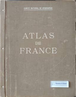
1945–1959Emmanuel de Martonne reviews the production and published contents of the Atlas de France. Proposed by Robert Perret in 1922, the project entered production for the 1931 Paris International Geographical Congress; regular publication began in 1933 with a five-year completion schedule. At the time of writing, 60 sheets had appeared and about 20 remained. Each sheet was intended as original work; 49 contributors had participated, at an average cost of 20,000 francs per sheet. Most sheets combine maps at different scales. Five maps of France, each comprising four sheets at 1:1,000,000 or 1:1,250,000, were planned; relief and population density had appeared, while morphology, vegetation and chorography were in preparation. De Martonne highlights cartographic solutions for relief, thermal profiles, climatic variability, river profiles and regimes, and coastal and marine conditions. Economic geography occupies a large share: eight agricultural sheets contain 60 representations, generally using administrative-area averages, while seven industrial sheets chiefly locate centres and indicate their size by employment or production. He also emphasizes fisheries, transport, tourism, finance and foreign trade. Political and human geography has fewer published sheets, including political opinions at four dates, foreign population and internal migration. He attributes delays to the demanding, costly production of the remaining large maps and predicts completion before the next International Geographical Congress.
Related Atlases
Comments
Loading...
0/2000