
The atlas of Finland of 1899: The nation demonstrated through maps
L’Atlas de Finlande de 1899 : la Nation démontrée par les cartes
- Publication
- Forme du savoir, forme de pouvoir : Les atlas géographiques à l'époque moderne et contemporaine
- Pages
- 117-134
Finland · Version 1
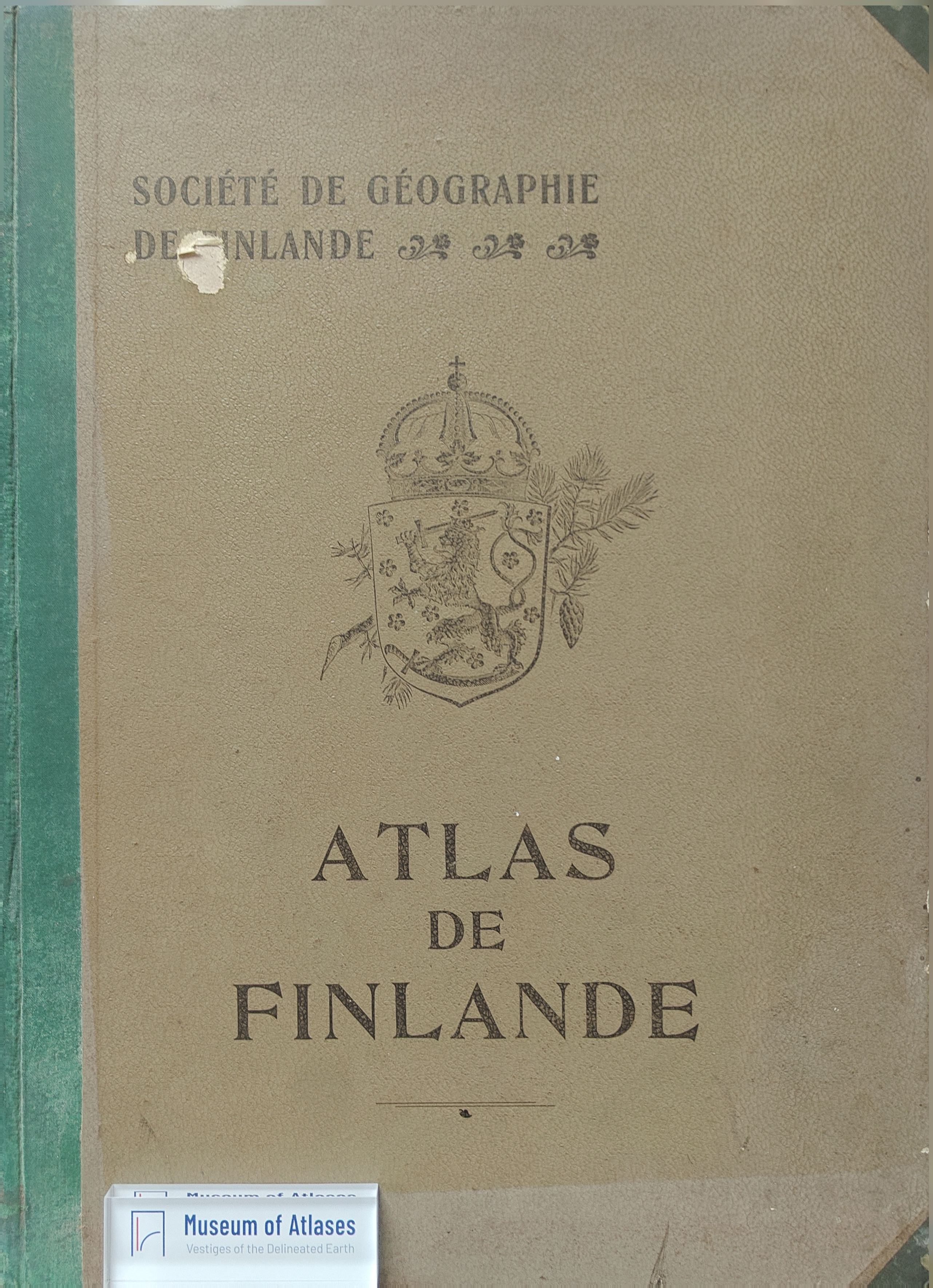
1899–2002Gilles Palsky examines the 1899 Atlas de Finlande as an instrument of Finnish national affirmation under Russian rule. Its French edition was completed first for the Berlin geography congress and distributed internationally. The project grew from successful map exhibitions, especially London in 1895, and combined the work of learned societies and public administrations with government funding. Its 32 colour-lithographed plates and accompanying commentary combined geographical maps, statistics and diagrams, including choropleths, proportional symbols and a wood-export flow diagram. Palsky argues that repeated representations of the national territory, selected physical and social characteristics, and historical material constructed an idealized Finnish identity while suppressing or minimizing Russian authority. He links favourable foreign reception to sympathy for Finland, but qualifies the atlas’s scientific reputation: its commentary rarely connected phenomena across plates, and many underlying observations remained approximate or incomplete.
View whole-article summary
The Atlas of Finland, published in 1899, has been considered as the first modern national atlas. It illustrated Finland’s various geographical and statistical aspects, using a combination of maps and diagrams. The work appeared as a scientific masterpiece, with the aim at demonstrating the skills of the country’s learned societies and administration. It was also intended to proclaim a Finnish national identity, while Finland was still a Grand Duchy, under the rule of the Russian empire. The article discusses this Nation-building with maps, by presenting the project and its stakeholders, then by showing how the atlas built an ideal portrait of the Finnish people and territory, through the selection of distinctive features of “Finnishness”.,L’Atlas de Finlande, publié en 1899, est considéré comme le premier atlas national moderne. Il illustre différents thèmes de la géographie et de la statistique du pays, en associant une expression par cartes et par diagrammes. L’ouvrage se présente comme une somme scientifique, qui permet de démontrer la compétence des sociétés savantes et de l’administration. Il est aussi destiné à proclamer une identité nationale finlandaise, alors que le pays n’est encore qu’un Grand-Duché intégré à l’Empire russe. L’article analyse cette fabrique de la Nation par les cartes, en présentant le projet et ses acteurs puis en montrant comment l’atlas construit un portrait idéal du peuple finlandais et de son territoire, à travers la sélection de caractères saillants d’une « finlandité ».
Comments
Loading...
0/2000