
The atlas of Belgium
L'Atlas de Belgique
- Publication
- Bulletin de la Société Royale Belge de Géographie
- Volume
- 80
- Issue
- 3-4
- Pages
- 126-136
Belgium
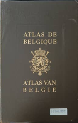
1954–1972O. Tulippe describes the preparation and ongoing publication of the Atlas de Belgique by the National Committee of Geography. He presents the national atlas as a systematic account of geographical knowledge and advocates its use in research, administration, business, domestic education and the promotion of Belgium abroad. A preliminary plan was submitted in 1932; P. Michotte and M. A. Lefèvre prepared the fuller plan adopted in 1938. War interrupted execution, and a permanent Atlas Commission was established in 1946 to define map subjects, recruit contributors, review drafts and select production procedures. The article lists the planned fifty-plus plates in eight sections, covering Belgium's European setting, cartography and geophysics, physical, biological, human, economic and regional geography, and administration. It explains the folio format, principal scale of 1:500,000, smaller-scale map assemblies, language arrangements and reverse-side notes documenting compilation techniques and sources. Natural-environment maps extend into neighboring territories where possible; statistical maps generally remain within Belgium. State support began in 1947, and the Military Geographical Institute printed the first plates in 1948. About thirty plates had appeared, but reductions in annual funding delayed completion. Tulippe describes subscription and binding arrangements, acknowledges institutional and statistical assistance, and reports that contributors updated earlier maps, consolidated previously unsynthesized knowledge and identified new research problems. The Committee decided to publish an accompanying commentary.
Related Atlases
Comments
Loading...
0/2000