
The atlas of Algeria and Tunisia
L'atlas d'Algérie et de Tunisie
- Publication
- Annales de Géographie
- Volume
- 40
- Issue
- 227
- Pages
- 519-526
Algeria · Version 1
1924–1935This article reviews the substantial academic publication project "Atlas of Algeria and Tunisia." Conceived in 1910, the atlas aims to provide a comprehensive cartographic synthesis of the physical, demographic, and economic phenomena of Algeria and Tunisia. The article details the eight fascicles published so far, covering themes such as geology, hypsometry, climatology, phytogeography, and rural habitation, and evaluates each fascicle's map content, methodology, sources, and scientific value. It concludes that the atlas, with its abundant material, valuable sources, and high-quality cartography, represents a significant achievement in European colonial cartography, serving as an essential reference for geographers, administrators, and the educated public alike.
Related Atlases
Atlas of Algeria and Tunisia. Fascicle II: Hypsometry
Algeria · 1924
Atlas of Algeria and Tunisia. Fascicle III: Climatology: Temperatures
Algeria · 1924
Atlas of Algeria and Tunisia. Fascicle VI: Climatology: Mean Monthly Rainfall
Algeria · 1927
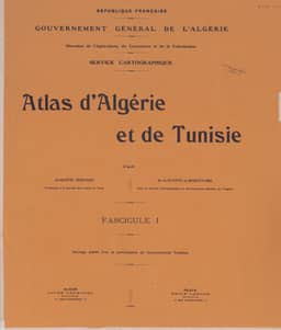
Atlas of Algeria and Tunisia. Fascicle I: Geology
Algeria · 1925
Atlas of Algeria and Tunisia. Fascicle V: Climatology: Mean Annual Rainfall
Algeria · 1926
Atlas of Algeria and Tunisia. Fascicle VII: Climatology
Algeria · 1928
Atlas of Algeria and Tunisia. Fascicle VIII: Rural Housing of the Indigenous Population
Algeria · 1929
Atlas of Algeria and Tunisia. Fascicle IV: Vegetation
Algeria · 1925
Comments
Loading...
0/2000