
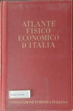
The physical-economic atlas of Italy
L'Atlante Fisico-Economico d'Italia
- Publication
- Sitzungsberichte der Zusammenkunft europäischer Geographen in Würzburg, 16. bis 19. März 1942
- Pages
- 105-116
Italy · Version 1
1939Giotto Dainelli presents the Physical-Economic Atlas of Italy at the Würzburg congress, recounting its conception, compilation and publication in October 1939. He traces the project to his stay in Vienna 37 years earlier, describes collecting research through Memorie Geografiche, and recalls the unsuccessful discussions at the 1921 Florence congress. Seeing atlas sheets at the Paris and Warsaw congresses renewed his determination. Mussolini's approval helped him secure a publisher; the undertaking was announced in February 1935. With 22 collaborators, some of whom failed to meet their deadlines, Dainelli personally constructed and drew more than 400 of the atlas's 600 maps. Original work was completed in three years, but publishing delays prevented presentation at the Amsterdam congress. Dainelli emphasizes that the 1927 industrial census, 1929 agricultural cadastre and 1931 population census provided nearly contemporaneous data for depicting Italy around 1930. He opposed waiting for later censuses because this would delay publication and combine observations from different periods. He describes processing data for roughly 7,500 municipalities, correcting population comparisons for boundary changes, allocating post offices to municipalities, and adjusting incomplete rainfall records to calculate 35-year averages. Maps generally present averages or ratios, with statistical sources cited individually. Natural-condition maps provide a selective introduction to population and economic activity, emphasizing elevation, terrain, rainfall and temperature. He acknowledges inadequate vegetation and forest coverage, which he attributes to the publisher's limit on plates, and shortcomings in official industrial statistics, partly addressed through calculations and unpublished data. He judges the atlas broadly comprehensive within the available sources. Earlier-period maps support comparisons of changing conditions. He advocates periodic atlas compilation and international agreement on cartographic methods, scales, classification intervals and reference dates.
Comments
Loading...
0/2000