
The second edition of the Atlas of France
La deuxième édition de l'Atlas de France
- Publication
- L'Information Géographique
- Volume
- 23
- Issue
- 3
- Pages
- 138
France · Version 1
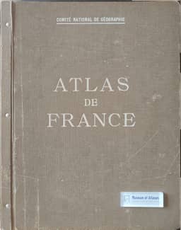
1945–1959Georges Chabot reports on the presentation of the second edition of the Atlas de France to the Minister of National Education on 13 March and recounts the collective work behind both editions. The first was begun in 1931, nearly completed in 1940 and finished in 1946; Chabot describes it as one of the earliest atlases of its kind, admired internationally and followed by similar projects abroad. Changes in France and advances in cartographic techniques prompted preparation of the second edition from 1946, which received an award from the International Geographical Union’s national-atlas commission. Chabot credits Robert Perret with the original idea, Emmanuel de Martonne and Albert Demangeon with organizing physical and human geography contributions across French universities, and de Martonne with initiating the second edition after Demangeon’s death. He praises the technical work of the Société française de cartographie and André Libault’s development of expressive cartographic representations. He also emphasizes rising postwar costs and Jean Majorelle’s success in securing industrial, banking and commercial support before the CNRS took responsibility for the undertaking. Plans to replace aging plates illustrate Chabot’s view that an atlas requires continuing renewal.
Related Atlases
Comments
Loading...
0/2000