
Map review: Atlas of France
Kartenbesprechung: Atlas de France
- Publication
- Der Schweizer Geograph
- Volume
- 11
- Pages
- 150-151
France · Version 1
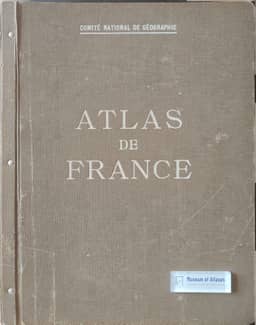
1945–1959The review examines the first delivery of 16 plates from the Comité National de Géographie’s Atlas de France, planned to contain 80 plates; three sample plates had been distributed at the 1931 International Geographical Congress in Paris. Drawing on its physical, economic and human geography sections, the reviewer praises the clarity of four hypsometric maps at 1:1,250,000, with graded elevation colours and intermediate contours. Temperature plates show isotherms, profiles, frost duration and phenological observations. Mineral-resource plates include detailed coalfield and iron-ore basin maps, production statistics and classifications of quarry materials. Nine maps each of metalworking and textiles give worker numbers. The reviewer contrasts the broadly dispersed metal industry, with heavy industry concentrated in the north, with distinct textile regions behind the Channel coast, around the Vosges and in the Rhône valley.
Related Atlases
Comments
Loading...
0/2000