
Socioeconomic Maps in Regional and National Atlases
Социально-экономические карты в региональных и национальных атласах
Mongolia
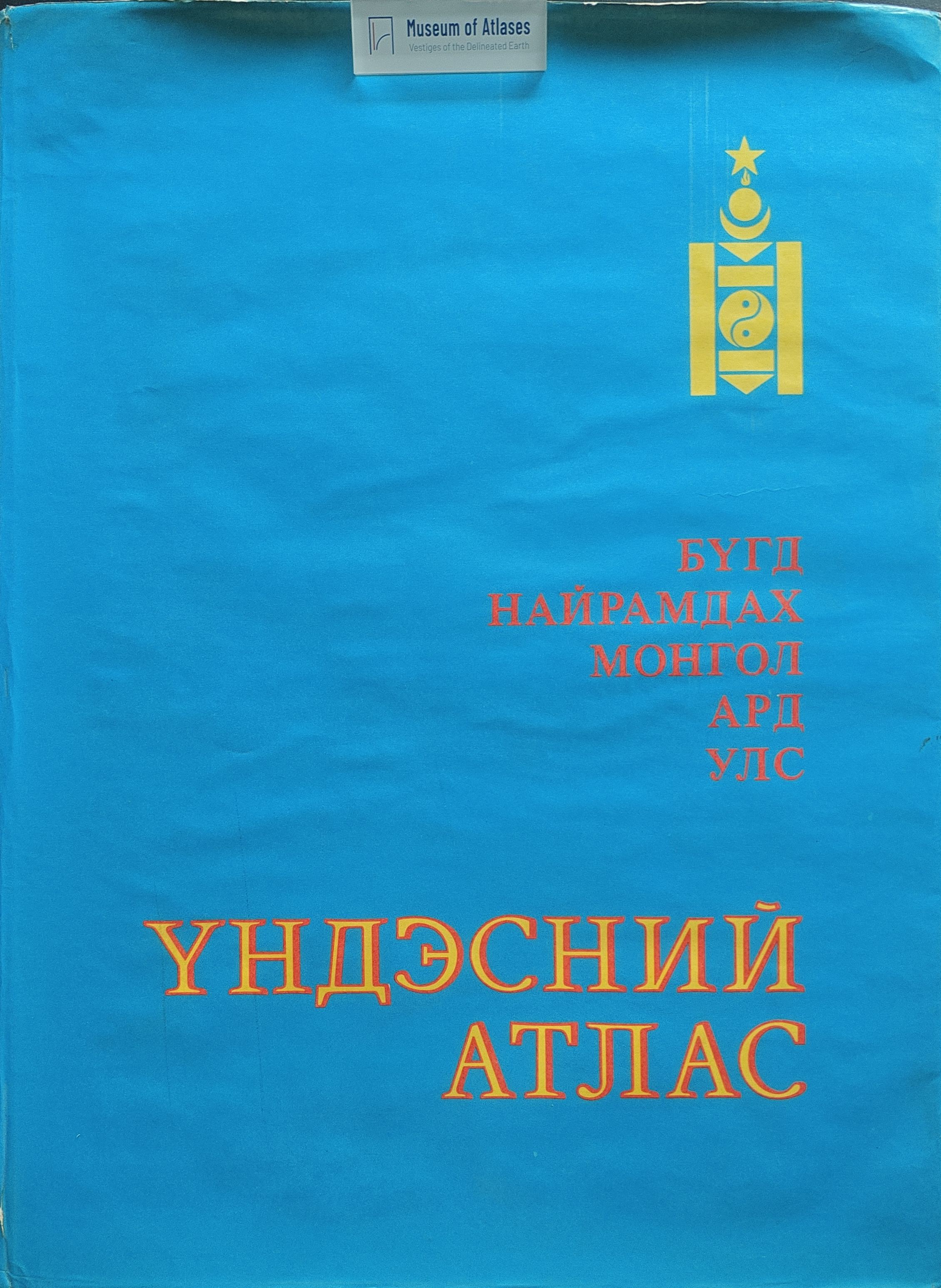
1990–2022These compilation accounts describe preparations for the National Atlas of the Mongolian People's Republic, the project associated with the linked 1990 volume. V. V. Vorobyev presents it as a joint Mongolian–Soviet undertaking combining natural conditions and resources with history, economic activity, population and public services. He calls for coordination of map content, scales, generalization and legends, and for historical comparisons and accompanying texts to support planning and forecasting. Livestock husbandry receives detailed treatment in the proposed programme. V. A. Bogoyavlensky discusses preliminary section layouts, working and standardized geographical bases, map documentation and visual design. He reports that section layouts had been prepared with Mongolian specialists, while final layouts still required editorial approval of the map list and scales. K. P. Kosmachev proposes a map of nomadic-movement types, supported by detailed examples showing seasonal pastures, migration routes and settlements. His proposed dot mapping weights livestock distribution by the time animals spend on each seasonal pasture. These passages document plans and methodological recommendations, without establishing their implementation in the published atlas.
View whole-article summary
The visible opening and closing materials describe plans for the National Atlas of the Mongolian People’s Republic and issues in medical-geographical mapping. Jointly prepared by Mongolian and Soviet scholars, the atlas was intended for bilingual publication with approximately 300 maps covering history, natural conditions and resources, the economy, population, education, culture, and health care. The opening emphasizes the use of long-term joint research, coordination of thematic content, scales, generalization methods, and legends, and cartographic techniques suited to Mongolia. Historical change was to be represented through maps for different dates, maps of dynamics, and explanatory texts. The atlas was intended to support planning, forecasting, and resource development, with supplementary information, methodological explanations, and guidance on use accompanying its sections. The closing discusses selecting geographical bases for medical-geographical maps. Disease distributions, environmental assessments, and population health should be mapped using relevant ecological, land-use, industrial, and urbanization information; empirical comparison may be needed to select a suitable base. Examples include using marmot habitats to indicate areas of probable plague-pathogen circulation and cited mapping experience linking anthrax distribution with agricultural land use and livestock numbers. The author advocates collaboration between medical geographers and cartographers in design, compilation, generalization, and editing, and identifies potential uses in setting priorities for medical services and health protection, research, and regional planning.
Comments
Loading...
0/2000