
National Atlas of the Mongolian People's Republic: Issues and Scientific Content
Национальный атлас Монгольской Народной Республики: проблематика и научное содержание
Mongolia
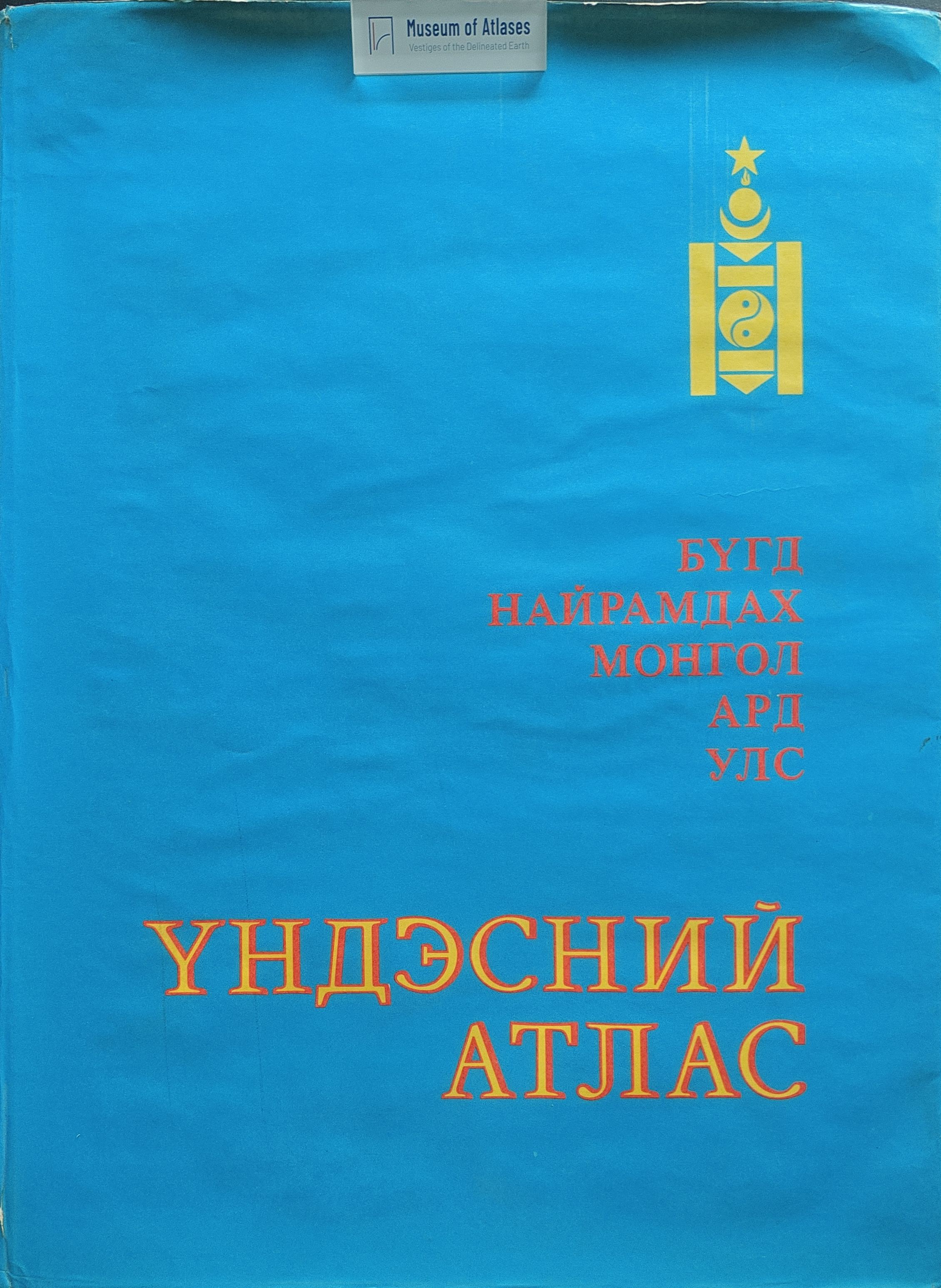
1990–2022This 1989 compilation account concerns the National Atlas of the Mongolian People’s Republic linked here to the 1990 volume. The authors report that work began in 1976, the final programme was adopted in December 1983, and the author’s original and accompanying documentation were completed by early 1986. More than 300 Mongolian and Soviet specialists contributed, drawing on joint expeditions and thematic maps. The atlas is described as comprising 17 thematic sections with approximately 300 maps and diagrams, based on materials from 1983–1985, with administrative boundaries dated to 1986. The authors explain how maps were coordinated across physical and socioeconomic themes through their content, scales, legends and generalization. Experimental maps showed that the initial scales suppressed important detail, prompting enlargement of principal maps to 1:3,000,000 and 1:4,500,000. They also describe the choice of a Kavrayskiy equidistant conic projection and a page layout assembled from individual maps and thematic groups. The geological discussion details the representation of rock ages, formations, tectonic structures and mineral deposits. The authors intended resource-assessment maps and explanatory texts to support planning and forecasting, and placed the portrayal of Mongolia’s socialist development and ties with socialist countries within the atlas’s programme.
View whole-article summary
National Atlas of the Mongolian People’s Republic: Issues and Scientific Content is a 1989 monograph edited by V. V. Vorobyev that reviews atlas compilation undertaken through cooperation between the Soviet and Mongolian academies of sciences. The visible publication notice, introduction, and contents outline the atlas’s programme, structure, projection, scale series, layout, editorial work, and cartographic representation. Its thematic coverage includes geology and mineral resources, relief, climate, hydrology, soils, vegetation, fauna, landscapes and natural regionalization, alongside population, industry, agriculture, transport, territorial economic organization, international relations, education, culture, trade, and health care. The introduction identifies Soviet–Mongolian expeditions conducted since 1967, together with their published research and thematic maps, as the atlas’s evidentiary foundation. It presents national atlases as integrated representations of nature, population, economic activity, and their interrelationships, with applications to inventories of resources and productive capacity. It also describes Mongolia’s elevated inland terrain, strongly continental climate, and mineral resources, and supplies figures on industrial, energy, agricultural, educational, and health-care development, which the authors characterize as achievements of socialist construction. The supplied ending consists of a geographical-name index, contents, and publication details; it does not include the concluding chapter, so the book’s detailed arguments and final conclusions cannot be summarized from these excerpts.
Comments
Loading...
0/2000