
Introduction to Foreign Atlases: The Atlas of Canada
外国地图集简介: 《加拿大地图集》
- Publication
- 专题地图与地图集编制
- Pages
- 212
Canada · Version 3
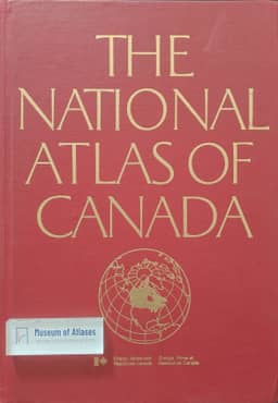
1974This review describes the 1974 revised fourth edition of The National Atlas of Canada, produced and published by Canada’s Department of Energy, Mines and Resources in English and French. Its 254 pages of maps chiefly use scales of 1:10 million for double-page spreads and 1:20 million for single pages, with other scales for smaller maps and regional enlargements. Statistics are the principal source for compilation, and the inside covers contain four satellite images taken in 1973. The review surveys physical, population, and economic maps, highlighting climate information relevant to agriculture and industry, as well as maps of territorial change and regional development. The author praises the atlas’s detailed coverage, arrangement of maps, charts, and text, and production quality. The article also lists several Canadian provincial atlases and explains their aim of improving residents’ understanding and assessment of natural resources to encourage rational development.
Related Atlases
Comments
Loading...
0/2000