
Spatial information and development in the Americas: Geography in the 21st century
Información Espacial y Desarrollo en las Américas: La Geografía en el Siglo XXI
- Publication
- Anales de la Academia Nacional de Geografía
- Volume
- 33
- Pages
- 83-102
Colombia
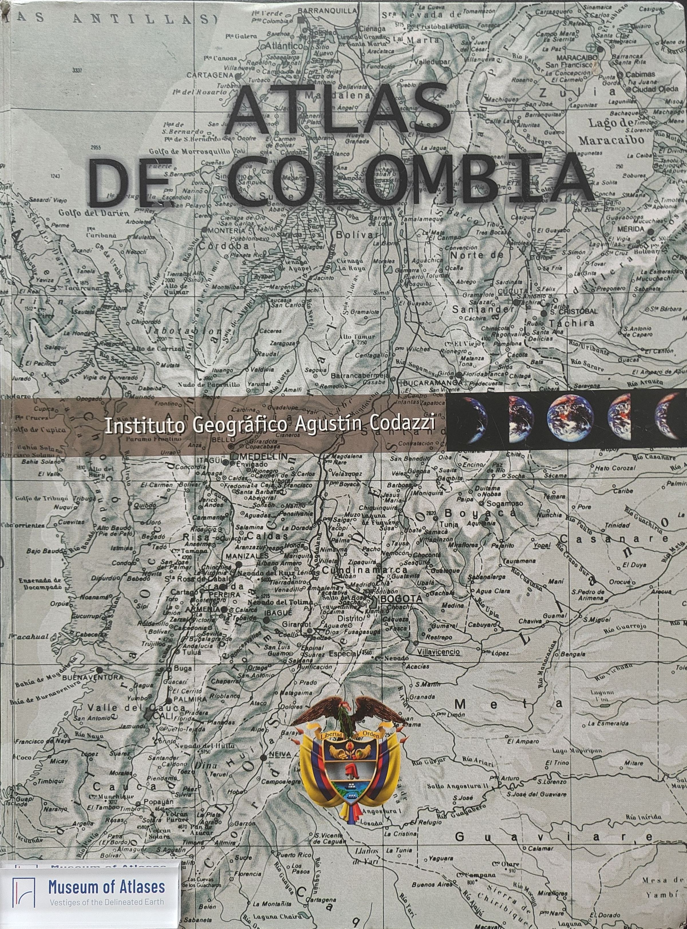
2002Santiago Borrero recounts directing the printed fifth edition of Atlas de Colombia (IGAC, 2002). He describes more than five years of work between 1996 and 2002 by a multidisciplinary IGAC team, with technical coordination by Nancy Aguirre and thematic contributions from over 32 institutions. According to Borrero, the atlas presents Colombia’s physical, social, economic and cultural information through more than a thousand maps, graphs and diagrams, enabling users to inventory and synthesize qualitative and quantitative information. He regards the edition as unsurpassed among comparable national atlases in the region and credits it with radically changing the presentation and description of Colombia’s territory. He also states that the succeeding administration handled the final print run and mass distribution after the official presentation at the presidential palace, and criticizes it for claiming credit for the work.
View whole-article summary
The visible opening and closing sections form an address marking the author’s appointment as a corresponding member of Argentina’s National Academy of Geography in Colombia. Reviewing his work in regional and urban development, national mapping, and geographic administration, he emphasizes human geography, primary historical sources, and professional geographic judgment, and discusses Ernesto Guhl’s influence on his understanding of territory and development. He highlights the production of the 2002 Atlas of Colombia, completed over more than five years by IGAC professionals with contributions from over 32 institutions. Its more than one thousand maps, charts, and diagrams synthesize physical, social, economic, and cultural information. An earlier digital atlas enabled users to customize maps and consult a geographical names dictionary. The closing sections draw on the 2010 earthquakes in Haiti and Chile to discuss constraints imposed on disaster response by communications infrastructure, national geographic institutions’ capacities, and the availability of spatial information. The author distinguishes military, civilian, and Central American cadastral and land-administration models of mapping institutions. He advocates spatial data infrastructures, international standards certification, and capacity building, and proposes responsibilities for national institutions in fundamental-data stewardship, quality assurance, coordination, certification, and access. Against a regional context of economic growth, limited competitiveness, and persistent inequality, he identifies spatial information and its applications as resources for development and integration, particularly in climate change, territorial planning, and natural disasters.
Related Atlases
Comments
Loading...
0/2000