
History of the atlases of Colombia
Historia de los Atlas de Colombia
- Publication
- Boletín de la Sociedad Geográfica de Colombia
- Volume
- 26
- Issue
- 98
Colombia
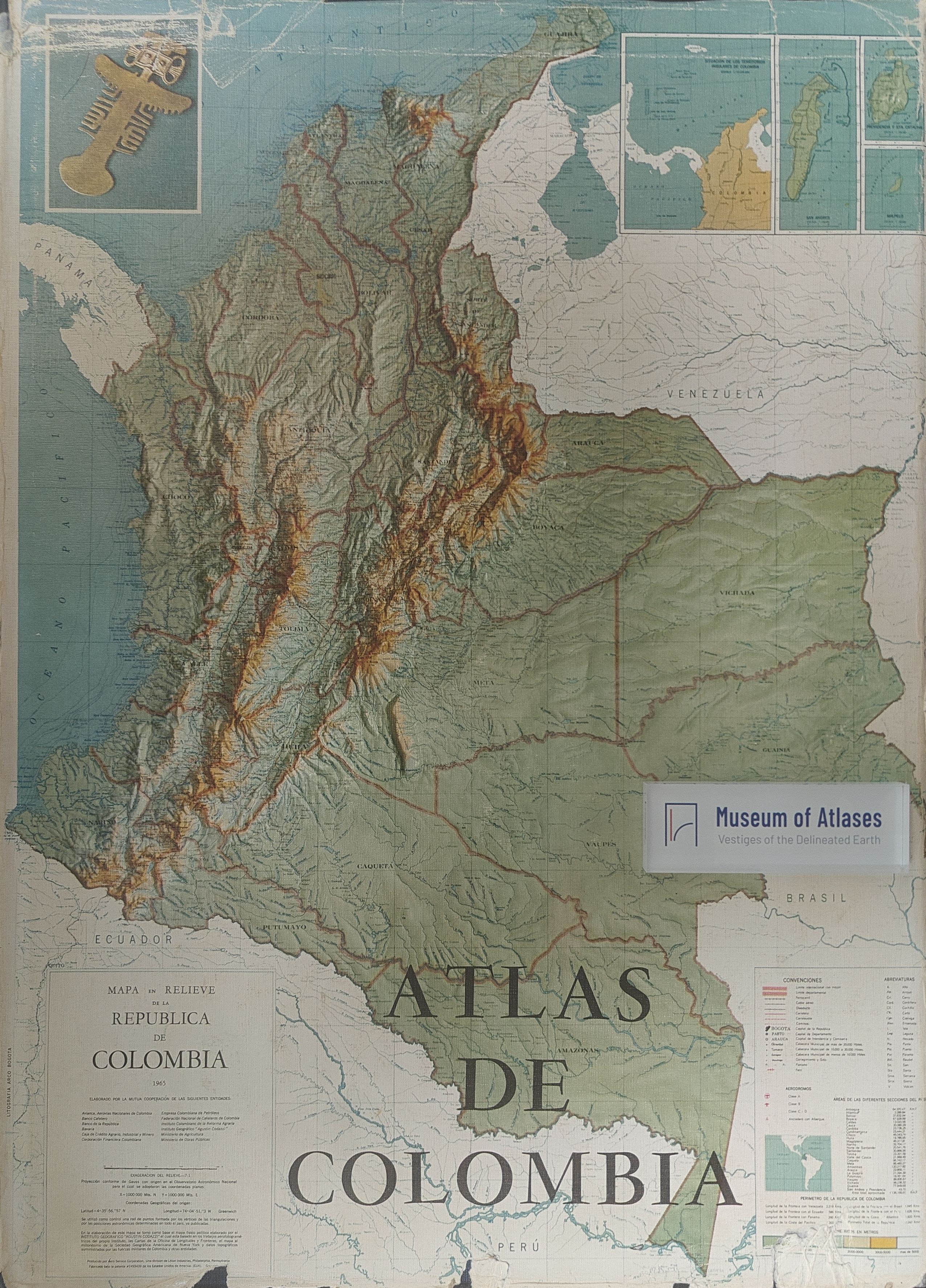
1967–1969In this 1968 address, Eduardo Acevedo Latorre surveys the history of Colombian atlases and introduces the Atlas de Colombia, produced over five years by the Agustín Codazzi Geographical Institute. He treats atlases as dated national inventories that, when read historically, document changes in boundaries, settlements, transport, and physical landscapes. His account covers Caldas’s unfinished atlas of 1811, Restrepo’s atlas of Gran Colombia, Codazzi’s geographical survey and the 1889 atlas, and twentieth-century educational, departmental, and economic atlases. Acevedo hopes the new atlas will demonstrate national development, while acknowledging destructive forest clearance. He attributes deficiencies in some plates to scattered and incomplete sources and technical difficulties in drawing and printing, and calls for continued geographical investigation and revision using more accurate information.
Related Atlases
Comments
Loading...
0/2000