
Geographical atlases of the transcaucasian republics
- Publication
- Abstracts of Papers: 20th International Geographical Congress
- Pages
- 37-38
Azerbaijan · Version 1
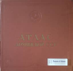
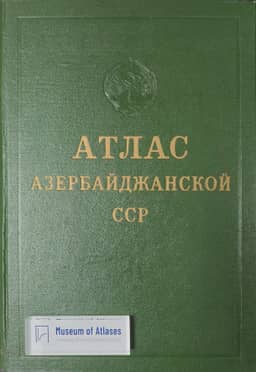
1963In their comparative account of three Transcaucasian republic atlases, the authors describe the 1963 Atlas of the Azerbaijan S.S.R. as published in a large edition in both the republic’s national language and Russian, with a book-type binding and principal map scales of 1:1,500,000 and 1:2,500,000. Their table lists 177 maps: 6 introductory, 87 on natural conditions and resources, 2 on population, 66 on the national economy, 7 on culture and public health services, and 9 historical maps. The authors state that its subject coverage generally follows the recommendations in Atlas nationaux (Moscow, 1960), with additional themes reflecting the republic’s particular natural and socioeconomic conditions.
View whole-article summary
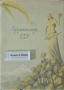
This paper reviews the geographical atlases of the three Transcaucasian republics—Armenia, Azerbaijan, and Georgia—published in the early 1960s. It notes that all three atlases were issued in large editions in both the respective national languages and Russian, with their formats, bindings, and main map scales (1:1,000,000 and 1:1,500,000 for Armenia; 1:1,500,000 and 1:2,500,000 for Azerbaijan and Georgia) determined by the size and configuration of each republic. The content generally follows the recommendations of the 1960 Moscow publication 'National Atlases,' yet each atlas incorporates thematic maps reflecting the specific natural and socio-economic conditions of its republic. By tabulating the number and percentage of maps devoted to natural conditions, population, national economy, culture and public health, and history, the paper systematically compares the structure and content of the three atlases.

Comments
Loading...
0/2000