
Geographical atlases by Zagreb publishers, On the occasion of the publication of the Great geographical atlas of Yugoslavia
Geografski atlasi zagrebačkih izdavača, Povodom izdavanja Velikog geografskog atlasa Jugoslavije
- Publication
- Geodetski list
- Volume
- 42 (65)
- Issue
- 4–6
- Pages
- 131-143
Yugoslavia
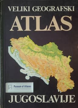
1987Canković and Lovrić assess Liber’s 1987 Veliki geografski atlas Jugoslavije, edited by Ivan Bertić, as a successful comprehensive atlas for general education, while concluding that the initial ambition to produce a national atlas remained unfulfilled. They count 56 topographic and thematic maps, with maps occupying only 20% of the pages excluding the index, and criticize the predominance of statistical mapping over maps based on original scientific research. Population receives the fullest coverage; tourism has only one map. They particularly praise the updated 1:500,000 topographic map, arranged across 14 regional sheets, and the new base maps of Yugoslavia, Europe and the world. They judge the thematic maps’ cartographic preparation to meet the highest international standards, although printing reduced their quality, and commend the atlas’s 43 graphic models for conveying information clearly.
View whole-article summary
This paper was written on the occasion of the publication of the "Great Geographical Atlas of Yugoslavia," issued by the University Publishing House Liber, Zagreb, in 1987. The author's intention was to investigate and present the most significant atlases published by Zagreb publishers through a retrospective analysis of their editions, in light of the historical circumstances and moments in which the authors lived and worked—highlighting the importance of cartographic work and the great names of our cartography (Kocen, Steklasa, Širola, Peyer, Šenoa, Matković, Hranilović, Roglić, Dugački, Mardešić, Cvitanović, and others). Likewise, the authors analyze the educational role of individual atlases, the content of specific topographical and thematic maps within them, and point to their role and value for teaching and for cartography in the era in which they were created, as well as their significance today.
Related Atlases
Comments
Loading...
0/2000