
← BackConference Paper
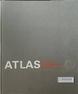
Generalization in maps of the Atlas of German Democratic Republic
By Edgar Lehmann
- Publication
- Abstracts of Papers: 21th International Geographical Congress
- Pages
- 382
East Germany · Version 1
1976Edgar Lehmann presents the generalization methods used in the maps of the Atlas of the German Democratic Republic. He states that the methods of cartographic representation are based on quantitative analysis of individual landscape phenomena represented on the maps.
Related Atlases
Comments
Loading...
0/2000