
Finland and Its People
- Publication
- The Geographical Journal
- Volume
- 15
- Issue
- 2
- Pages
- 145-149
Finland · Version 1
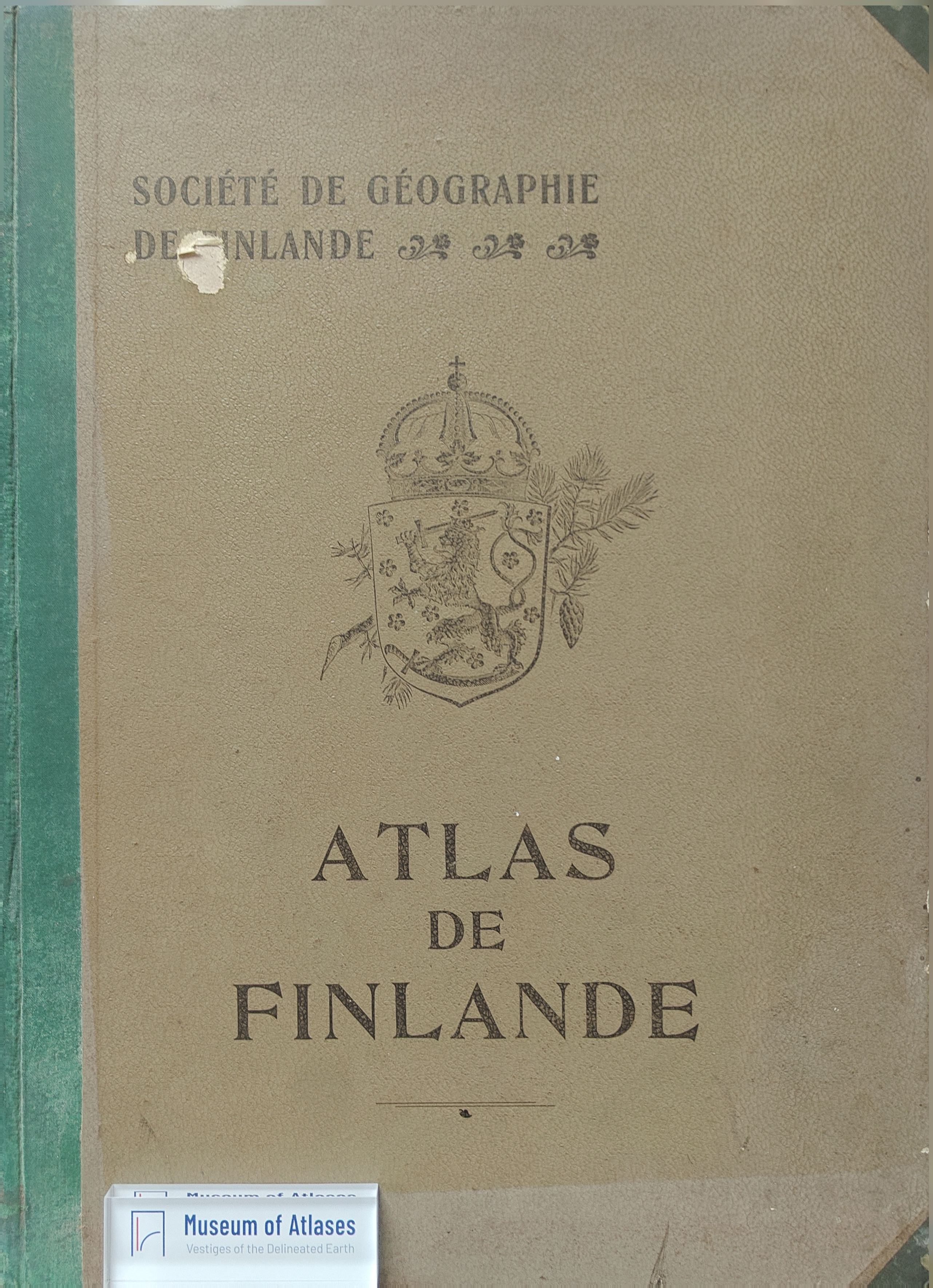
1899–2002Hugh Robert Mill reviews the 1899 Fennia text accompanying the Atlas of Finland, including its French edition, Atlas de Finlande. He distinguishes the text's Finnish, Swedish, and French editions from the atlas's French and combined Finnish–Swedish editions. The project grew from maps exhibited at the 1895 International Geographical Congress in London; a £520 government grant supported completion under a committee chaired by E. R. Neovins. Mill praises the survey, statistical, cartographic, and printing work undertaken in Finland. Each atlas plate receives a separately paginated explanatory memoir. The principal maps use a modified conic projection at 1:2,000,000. Mill compares relief, geology, drift, and railway maps to explain how glacial ridges carry transport routes. He surveys the work's treatment of climate, vegetation, forestry, population, education, agriculture, trade, communications, minerals, and industry. Temperature maps average 1881–1890 observations, while insufficient precipitation data restrict those maps to 1894 and 1895 separately. Forests occupy 47 percent of the country, and population statistics trace growth from 420,000 in 1750 to 2,380,000 in 1890. Mill particularly commends the water-power map, whose symbols encode fall heights and available horsepower, as useful for assessing resources in a country lacking coal and anticipating industrial electrification. The final sections cover prehistoric remains and early maps. He closes by praising Finnish diligence and education and, comparing southeastern Finland with southwestern Ontario, suggesting that Finnish emigrants would be an asset to Canada.
Comments
Loading...
0/2000