
The national atlas of Spain
El Atlas Nacional de España
- Publication
- Estudios Geográficos
- Volume
- 71
- Issue
- 268
- Pages
- 311-318
Spain · Version 1
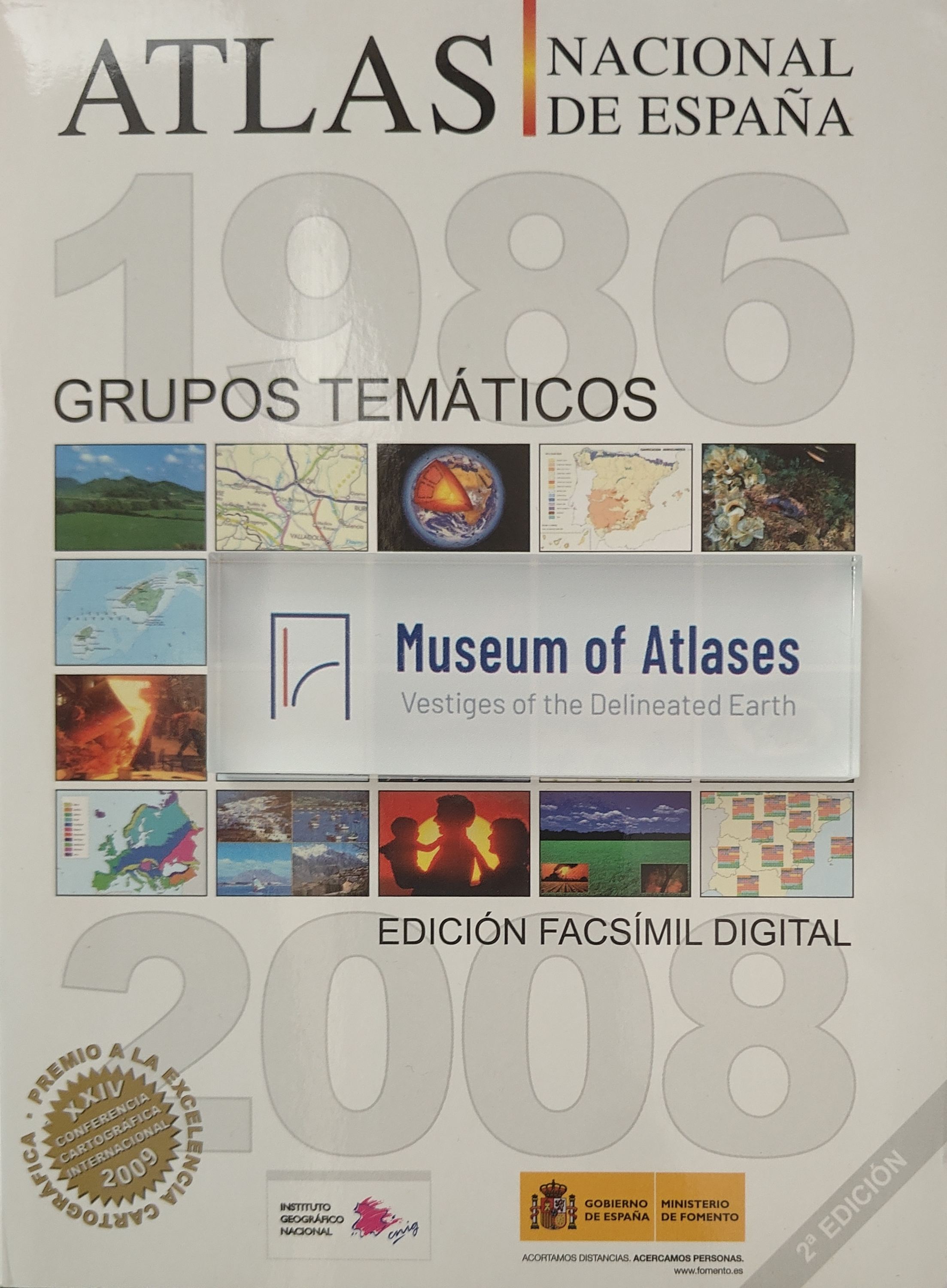
1961–2025The IGN authors describe the compilation, publication and digital development of the National Atlas of Spain (ANE). Commissioned in 1986 and launched in 1987, it brought together a multidisciplinary team, public administrations and specialists supplying data, writing content and editing publications. Its 48 thematic groups appeared in 45 fascicles and five volumes, with an additional toponymic index. The first fascicle appeared in 1991 and the initial complete edition was finished in 1997; revised editions followed, published exclusively as PDF electronic books on CD from 2004. The digital facsimile Atlas Nacional de España 1986-2008: Grupos Temáticos, released in early 2009 on DVD and the web, gathered 80 publications and over 3,700 pages. Adobe Flash supported interactive contents and edition menus, page navigation, zooming, saving and printing. It won the digital-products Cartographic Excellence Award at the 2009 International Cartographic Conference in Santiago. A revised facsimile was planned for May 2010, adding the 1:500,000 map's toponymic index and the latest edition of thematic group 41. The article also describes two educational projects adapting atlas materials to different school and university levels. Finally, it outlines SIANE's data-input tools, content and metadata management, map editor and web publication application, intended to automate production across formats and enable updates almost in real time after data receipt.
Comments
Loading...
0/2000